Area Overview for WF2 7AG
Photos of WF2 7AG

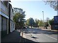
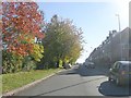
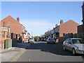
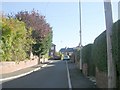
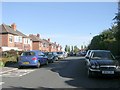
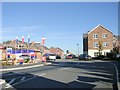
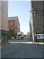
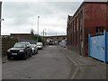
100 photos from this area
Area Information
Key information about the WF2 7AG including its size, population, and administrative classification.
- Area Type
- Postcode
- Area Size
- 10.1 hectares
- Population
- 1383
- Population Density
- 1124 people/km²
House Prices in WF2 7AG
11
Properties
£218,275
Average Sold Price
£80,000
Lowest Price
£370,000
Highest Price
Showing 11 properties
| Address | Type | Beds | Baths | Last Sale Price | Last Sale Date | |
|---|---|---|---|---|---|---|
| 25 Green End Lane, Wakefield, WF2 7AG | Detached | 3 | 2 | £370,000 | Jan 2025 | |
| 7 Green End Lane, Wakefield, WF2 7AG | Terraced | 2 | 1 | £165,000 | Oct 2024 | |
| 5 Green End Lane, Wakefield, WF2 7AG | Terraced | 2 | 1 | £135,250 | Jun 2024 | |
| 27 Green End Lane, Wakefield, WF2 7AG | Detached | 4 | 2 | £365,000 | Oct 2022 | |
| 23 Green End Lane, Wakefield, WF2 7AG | Detached | 4 | 1 | £296,000 | Sep 2018 | |
| 19 Green End Lane, Wakefield, WF2 7AG | Detached | 4 | - | £205,000 | Jan 2015 | |
| 1 Green End Lane, Wakefield, WF2 7AG | Terraced | 2 | 1 | £80,000 | Oct 2007 | |
| 21 Green End Lane, Wakefield, WF2 7AG | Detached | - | - | £129,950 | Nov 2001 | |
| 9 Green End Lane, Wakefield, WF2 7AG | Detached | - | - | - | - | |
| 3 Green End Lane, Wakefield, WF2 7AG | house | - | - | - | - |
Page 1 of 2
Energy Efficiency in WF2 7AG
Amenities
Schools
| Rank | School | Type | Entry gender | Ages |
|---|
Explore more schools in this area
Go to Schools tabDemographics
Household Size
Two person
most common
Accommodation Type
Houses
most common
Tenure
69
majority
Ethnic Group
White
most common
Religion
N/A
most common
Household Composition
N/A
most common
Age
47
median
Adults (30-64 years)
most common
Household Deprivation
N/A
with no deprivation
NS-SEC
29
in Lower managerial occupations
Explore more demographic insights in this area
Go to Demographics tabPlanning
Planning Constraints
- Flood RiskPremium
- Ramsar Wetland SitesPremium
- Area of Outstanding Natural BeautyPremium
- Protected Nature ReservePremium
- Protected WoodlandPremium