Area Overview for WF2 6UB
Photos of WF2 6UB
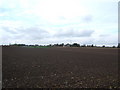
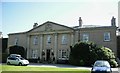
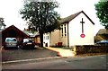
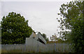
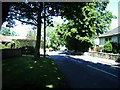
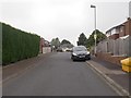
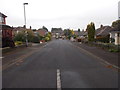
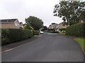
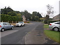
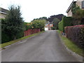
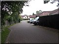
60 photos from this area
Area Information
Key information about the WF2 6UB including its size, population, and administrative classification.
- Area Type
- Postcode
- Area Size
- 7044 m²
- Population
- 1517
- Population Density
- 267 people/km²
House Prices in WF2 6UB
29
Properties
£246,644
Average Sold Price
£171,950
Lowest Price
£353,000
Highest Price
Showing 29 properties
| Address | Type | Beds | Baths | Last Sale Price | Last Sale Date | |
|---|---|---|---|---|---|---|
| 19 Nevile Drive, Walton, Wakefield, WF2 6UB | Semi-detached | 2 | 2 | £353,000 | Dec 2023 | |
| 6 Nevile Drive, Walton, Wakefield, WF2 6UB | Bungalow | - | - | £320,000 | Oct 2023 | |
| 33 Nevile Drive, Walton, Wakefield, WF2 6UB | Flat | - | - | £189,950 | Jul 2023 | |
| 20 Nevile Drive, Walton, Wakefield, WF2 6UB | Retail | 2 | 2 | £269,000 | Oct 2022 | |
| 17 Nevile Drive, Walton, Wakefield, WF2 6UB | Flat | 2 | 1 | £185,000 | Sep 2022 | |
| 43 Nevile Drive, Walton, Wakefield, WF2 6UB | Bungalow | 2 | 2 | £319,000 | Jan 2022 | |
| 18 Nevile Drive, Walton, Wakefield, WF2 6UB | Bungalow | - | - | £259,000 | Dec 2021 | |
| 45 Nevile Drive, Walton, Wakefield, WF2 6UB | Bungalow | - | - | £240,000 | Nov 2021 | |
| 23 Nevile Drive, Walton, Wakefield, WF2 6UB | Semi-detached | 2 | 2 | £199,950 | Sep 2021 | |
| 21 Nevile Drive, Walton, Wakefield, WF2 6UB | house | - | - | £199,950 | Sep 2021 |
Page 1 of 3
Energy Efficiency in WF2 6UB
Amenities
Schools
| Rank | School | Type | Entry gender | Ages |
|---|
Explore more schools in this area
Go to Schools tabDemographics
Household Size
Two person
most common
Accommodation Type
Houses
most common
Tenure
74
majority
Ethnic Group
White
most common
Religion
N/A
most common
Household Composition
N/A
most common
Age
47
median
Adults (30-64 years)
most common
Household Deprivation
N/A
with no deprivation
NS-SEC
37
in Lower managerial occupations
Explore more demographic insights in this area
Go to Demographics tabPlanning
Planning Constraints
- Flood RiskPremium
- Ramsar Wetland SitesPremium
- Area of Outstanding Natural BeautyPremium
- Protected Nature ReservePremium
- Protected WoodlandPremium