Area Overview for WF2 0NZ
Photos of WF2 0NZ
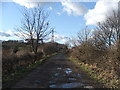
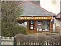
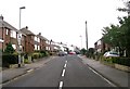
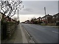
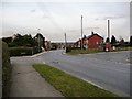
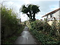
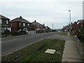
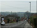
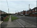
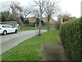
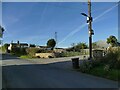
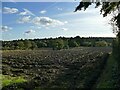
52 photos from this area
Area Information
Key information about the WF2 0NZ including its size, population, and administrative classification.
- Area Type
- Postcode
- Area Size
- 2.7 hectares
- Population
- 1391
- Population Density
- 51578 people/km²
House Prices in WF2 0NZ
50
Properties
£246,256
Average Sold Price
£94,950
Lowest Price
£350,000
Highest Price
Showing 50 properties
| Address | Type | Beds | Baths | Last Sale Price | Last Sale Date | |
|---|---|---|---|---|---|---|
| 55 The Mount, Wrenthorpe, Wakefield, WF2 0NZ | Bungalow | 3 | 2 | £345,000 | Aug 2022 | |
| 33 The Mount, Wrenthorpe, Wakefield, WF2 0NZ | Bungalow | 2 | 2 | £319,000 | Dec 2021 | |
| 36 The Mount, Wrenthorpe, Wakefield, WF2 0NZ | Detached | 4 | 2 | £337,000 | Oct 2021 | |
| 6 The Mount, Wrenthorpe, Wakefield, WF2 0NZ | house | - | - | £350,000 | Feb 2021 | |
| 28 The Mount, Wrenthorpe, Wakefield, WF2 0NZ | Detached | 4 | 2 | £315,000 | Oct 2020 | |
| 47 The Mount, Wrenthorpe, Wakefield, WF2 0NZ | Detached | 4 | 2 | £322,500 | Jan 2020 | |
| 41 The Mount, Wrenthorpe, Wakefield, WF2 0NZ | house | - | - | £350,000 | Aug 2018 | |
| 32 The Mount, Wrenthorpe, Wakefield, WF2 0NZ | Detached | 4 | 2 | £310,000 | Feb 2018 | |
| 26 The Mount, Wrenthorpe, Wakefield, WF2 0NZ | Detached | 4 | 3 | £275,000 | Dec 2017 | |
| 49 The Mount, Wrenthorpe, Wakefield, WF2 0NZ | Detached | 4 | 1 | £292,500 | May 2017 |
Page 1 of 5
Energy Efficiency in WF2 0NZ
Amenities
Schools
| Rank | School | Type | Entry gender | Ages |
|---|
Explore more schools in this area
Go to Schools tabDemographics
Household Size
Two person
most common
Accommodation Type
Houses
most common
Tenure
83
majority
Ethnic Group
White
most common
Religion
N/A
most common
Household Composition
N/A
most common
Age
47
median
Adults (30-64 years)
most common
Household Deprivation
N/A
with no deprivation
NS-SEC
41
in Lower managerial occupations
Explore more demographic insights in this area
Go to Demographics tabPlanning
Planning Constraints
- Flood RiskPremium
- Ramsar Wetland SitesPremium
- Area of Outstanding Natural BeautyPremium
- Protected Nature ReservePremium
- Protected WoodlandPremium