Area Overview for WF17 8NL
Photos of WF17 8NL
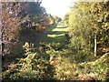
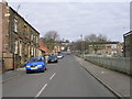

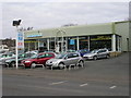
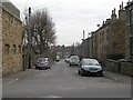
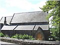
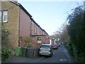
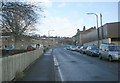
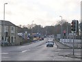
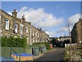
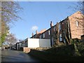
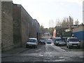
100 photos from this area
Area Information
Key information about the WF17 8NL including its size, population, and administrative classification.
- Area Type
- Postcode
- Area Size
- 1.2 hectares
- Population
- 1310
- Population Density
- 2434 people/km²
House Prices in WF17 8NL
20
Properties
£72,733
Average Sold Price
£12,000
Lowest Price
£169,950
Highest Price
Showing 20 properties
| Address | Type | Beds | Baths | Last Sale Price | Last Sale Date | |
|---|---|---|---|---|---|---|
| 764 Bradford Road, Birstall, Batley, WF17 8NL | house | - | - | £70,000 | Apr 2023 | |
| 770 Bradford Road, Birstall, Batley, WF17 8NL | Terraced | 1 | 1 | £55,000 | Feb 2020 | |
| 742 Bradford Road, Birstall, Batley, WF17 8NL | house | 3 | - | £169,950 | Mar 2013 | |
| 768 Bradford Road, Birstall, Batley, WF17 8NL | house | - | - | £12,000 | Dec 2003 | |
| 740 Bradford Road, Birstall, Batley, WF17 8NL | house | - | - | £82,950 | Mar 2003 | |
| 738 Bradford Road, Birstall, Batley, WF17 8NL | Terraced | - | - | £46,500 | Jul 2002 | |
| 766 Bradford Road, Birstall, Batley, WF17 8NL | Terraced | 1 | 1 | - | - | |
| 756 Bradford Road, Birstall, Batley, WF17 8NL | Terraced | 1 | 1 | - | - | |
| 742C, Brooke Close, Bradford Road, Birstall, Batley, WF17 8NL | Semi-detached | 3 | 1 | - | - | |
| 742D, Brooke Close, Bradford Road, Birstall, Batley, WF17 8NL | Semi-detached | 3 | 1 | - | - |
Page 1 of 2
Energy Efficiency in WF17 8NL
Amenities
Schools
| Rank | School | Type | Entry gender | Ages |
|---|
Explore more schools in this area
Go to Schools tabDemographics
Household Size
Family (3-5 people)
most common
Accommodation Type
Houses
most common
Tenure
67
majority
Ethnic Group
White
most common
Religion
N/A
most common
Household Composition
N/A
most common
Age
47
median
Adults (30-64 years)
most common
Household Deprivation
N/A
with no deprivation
NS-SEC
25
in Lower managerial occupations
Explore more demographic insights in this area
Go to Demographics tabPlanning
Planning Constraints
- Flood RiskPremium
- Ramsar Wetland SitesPremium
- Area of Outstanding Natural BeautyPremium
- Protected Nature ReservePremium
- Protected WoodlandPremium