Area Overview for WF17 8HT
Photos of WF17 8HT
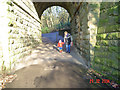
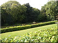
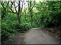
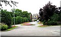
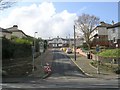
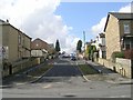
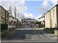
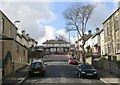
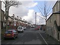
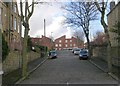
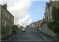
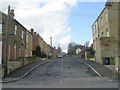
77 photos from this area
Area Information
Key information about the WF17 8HT including its size, population, and administrative classification.
- Area Type
- Postcode
- Area Size
- 2.5 hectares
- Population
- 1445
- Population Density
- 2981 people/km²
House Prices in WF17 8HT
29
Properties
£73,779
Average Sold Price
£27,500
Lowest Price
£195,000
Highest Price
Showing 29 properties
| Address | Type | Beds | Baths | Last Sale Price | Last Sale Date | |
|---|---|---|---|---|---|---|
| 110 Ealand Road, Batley, WF17 8HT | house | - | - | £92,000 | Aug 2023 | |
| 101 Ealand Road, Batley, WF17 8HT | house | - | - | £195,000 | Nov 2022 | |
| 104 Ealand Road, Batley, WF17 8HT | Terraced | - | - | £84,500 | Dec 2019 | |
| 95 Ealand Road, Batley, WF17 8HT | house | - | - | £135,000 | Oct 2016 | |
| 119 Ealand Road, Batley, WF17 8HT | house | - | - | £65,892 | Dec 2013 | |
| 103 Ealand Road, Batley, WF17 8HT | house | 3 | - | £97,000 | Aug 2011 | |
| 107 Ealand Road, Batley, WF17 8HT | house | - | - | £31,000 | Dec 2004 | |
| 102 Ealand Road, Batley, WF17 8HT | Terraced | - | - | £51,950 | May 2003 | |
| 99 Ealand Road, Batley, WF17 8HT | Semi-detached | - | - | £40,000 | Dec 2002 | |
| 112 Ealand Road, Batley, WF17 8HT | Semi-detached | - | - | £34,000 | Aug 2002 |
Page 1 of 3
Energy Efficiency in WF17 8HT
Amenities
Schools
| Rank | School | Type | Entry gender | Ages |
|---|
Explore more schools in this area
Go to Schools tabDemographics
Household Size
One person
most common
Accommodation Type
Houses
most common
Tenure
55
majority
Ethnic Group
White
most common
Religion
N/A
most common
Household Composition
N/A
most common
Age
47
median
Adults (30-64 years)
most common
Household Deprivation
N/A
with no deprivation
NS-SEC
25
in Lower managerial occupations
Explore more demographic insights in this area
Go to Demographics tabPlanning
Planning Constraints
- Flood RiskPremium
- Ramsar Wetland SitesPremium
- Area of Outstanding Natural BeautyPremium
- Protected Nature ReservePremium
- Protected WoodlandPremium