Area Overview for WF17 6LS
Photos of WF17 6LS
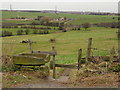
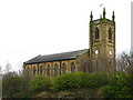
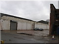
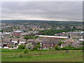
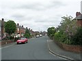
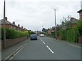
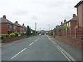
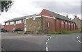
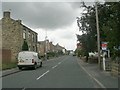
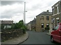
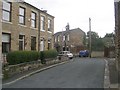
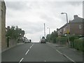
100 photos from this area
Area Information
Key information about the WF17 6LS including its size, population, and administrative classification.
- Area Type
- Postcode
- Area Size
- 4.0 hectares
- Population
- 1579
- Population Density
- 3605 people/km²
House Prices in WF17 6LS
21
Properties
£180,571
Average Sold Price
£97,000
Lowest Price
£345,000
Highest Price
Showing 21 properties
| Address | Type | Beds | Baths | Last Sale Price | Last Sale Date | |
|---|---|---|---|---|---|---|
| 118 Fort Ann Road, Soothill, Batley, WF17 6LS | Terraced | 2 | 1 | £102,000 | Jul 2025 | |
| 126 Fort Ann Road, Soothill, Batley, WF17 6LS | Bungalow | 3 | 1 | £275,000 | Jan 2025 | |
| 45 Fort Ann Road, Soothill, Batley, WF17 6LS | Detached | 4 | 2 | £345,000 | Jul 2023 | |
| 128 Fort Ann Road, Soothill, Batley, WF17 6LS | Semi-detached | 4 | 1 | £150,000 | Jun 2019 | |
| 47 Fort Ann Road, Soothill, Batley, WF17 6LS | Bungalow | 3 | - | £155,000 | Nov 2015 | |
| 130 Fort Ann Road, Soothill, Batley, WF17 6LS | Semi-detached | 3 | 2 | £140,000 | Oct 2014 | |
| 55 Fort Ann Road, Soothill, Batley, WF17 6LS | house | - | - | £97,000 | Jul 2003 | |
| 120 Fort Ann Road, Soothill, Batley, WF17 6LS | Terraced | 2 | 1 | - | - | |
| Fernlea, 59 Fort Ann Road, Soothill, Batley, WF17 6LS | Office | - | - | - | - | |
| 118A Fort Ann Road, Soothill, Batley, WF17 6LS | house | 4 | 2 | - | - |
Page 1 of 3
Energy Efficiency in WF17 6LS
Amenities
Schools
| Rank | School | Type | Entry gender | Ages |
|---|
Explore more schools in this area
Go to Schools tabDemographics
Household Size
Family (3-5 people)
most common
Accommodation Type
Houses
most common
Tenure
52
majority
Ethnic Group
White
most common
Religion
N/A
most common
Household Composition
N/A
most common
Age
47
median
Adults (30-64 years)
most common
Household Deprivation
N/A
with no deprivation
NS-SEC
19
in Lower managerial occupations
Explore more demographic insights in this area
Go to Demographics tabPlanning
Planning Constraints
- Flood RiskPremium
- Ramsar Wetland SitesPremium
- Area of Outstanding Natural BeautyPremium
- Protected Nature ReservePremium
- Protected WoodlandPremium