Area Overview for WF17 5AL
Photos of WF17 5AL
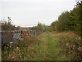

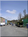
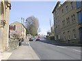
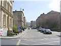
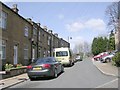
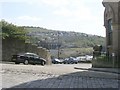
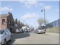
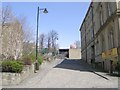
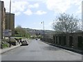
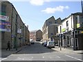
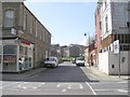
100 photos from this area
Area Information
Key information about the WF17 5AL including its size, population, and administrative classification.
- Area Type
- Postcode
- Area Size
- 7403 m²
- Population
- 1549
- Population Density
- 5174 people/km²
House Prices in WF17 5AL
28
Properties
£84,750
Average Sold Price
£15,000
Lowest Price
£165,000
Highest Price
Showing 28 properties
| Address | Type | Beds | Baths | Last Sale Price | Last Sale Date | |
|---|---|---|---|---|---|---|
| 77 Talbot Street, Batley, WF17 5AL | house | - | - | £165,000 | Apr 2020 | |
| 75 Talbot Street, Batley, WF17 5AL | house | - | - | £159,000 | May 2016 | |
| 55 Talbot Street, Batley, WF17 5AL | house | 2 | - | £50,000 | Oct 2009 | |
| 67 Talbot Street, Batley, WF17 5AL | Terraced | - | - | £135,000 | Jun 2009 | |
| 61 Talbot Street, Batley, WF17 5AL | house | - | - | £47,500 | Mar 2002 | |
| 73 Talbot Street, Batley, WF17 5AL | house | - | - | £50,000 | Nov 1999 | |
| 71 Talbot Street, Batley, WF17 5AL | house | - | - | £56,500 | Mar 1998 | |
| 27 Talbot Street, Batley, WF17 5AL | Terraced | - | - | £15,000 | Sep 1996 | |
| 51 Talbot Street, Batley, WF17 5AL | Terraced | 3 | 1 | - | - | |
| 57 Talbot Street, Batley, WF17 5AL | Terraced | 2 | 1 | - | - |
Page 1 of 3
Energy Efficiency in WF17 5AL
Amenities
Schools
| Rank | School | Type | Entry gender | Ages |
|---|
Explore more schools in this area
Go to Schools tabDemographics
Household Size
One person
most common
Accommodation Type
Houses
most common
Tenure
39
majority
Ethnic Group
asian_total
most common
Religion
N/A
most common
Household Composition
N/A
most common
Age
47
median
Adults (30-64 years)
most common
Household Deprivation
N/A
with no deprivation
NS-SEC
11
in Lower managerial occupations
Explore more demographic insights in this area
Go to Demographics tabPlanning
Planning Constraints
- Flood RiskPremium
- Ramsar Wetland SitesPremium
- Area of Outstanding Natural BeautyPremium
- Protected Nature ReservePremium
- Protected WoodlandPremium