Area Overview for WF17 0RP
Photos of WF17 0RP

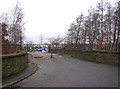
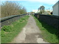
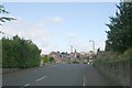
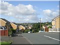
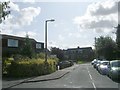
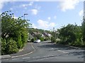
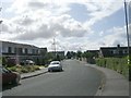
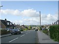
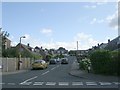
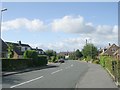
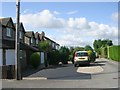
100 photos from this area
Area Information
Key information about the WF17 0RP including its size, population, and administrative classification.
- Area Type
- Postcode
- Area Size
- 8008 m²
- Population
- 1616
- Population Density
- 1356 people/km²
House Prices in WF17 0RP
12
Properties
£207,140
Average Sold Price
£117,995
Lowest Price
£352,000
Highest Price
Showing 12 properties
| Address | Type | Beds | Baths | Last Sale Price | Last Sale Date | |
|---|---|---|---|---|---|---|
| 11 Leveret Way, Birstall, Batley, WF17 0RP | Detached | 4 | 3 | £352,000 | Dec 2023 | |
| 1 Leveret Way, Birstall, Batley, WF17 0RP | Detached | 4 | 2 | £336,000 | Mar 2021 | |
| 5 Leveret Way, Birstall, Batley, WF17 0RP | Detached | 4 | 2 | £297,700 | Feb 2021 | |
| 10 Leveret Way, Birstall, Batley, WF17 0RP | Detached | 4 | - | £192,500 | Apr 2013 | |
| 3 Leveret Way, Birstall, Batley, WF17 0RP | Detached | 4 | 3 | £219,000 | Mar 2011 | |
| 4 Leveret Way, Birstall, Batley, WF17 0RP | Detached | - | - | £270,000 | Oct 2007 | |
| 12 Leveret Way, Birstall, Batley, WF17 0RP | Detached | - | - | £180,000 | Jun 2003 | |
| 8 Leveret Way, Birstall, Batley, WF17 0RP | Detached | - | - | £129,995 | Jun 2001 | |
| 9 Leveret Way, Birstall, Batley, WF17 0RP | Detached | - | - | £124,500 | Jun 2001 | |
| 6 Leveret Way, Birstall, Batley, WF17 0RP | house | - | - | £132,995 | Jun 2001 |
Page 1 of 2
Energy Efficiency in WF17 0RP
Amenities
Schools
| Rank | School | Type | Entry gender | Ages |
|---|
Explore more schools in this area
Go to Schools tabDemographics
Household Size
Two person
most common
Accommodation Type
Houses
most common
Tenure
61
majority
Ethnic Group
White
most common
Religion
N/A
most common
Household Composition
N/A
most common
Age
47
median
Adults (30-64 years)
most common
Household Deprivation
N/A
with no deprivation
NS-SEC
28
in Lower managerial occupations
Explore more demographic insights in this area
Go to Demographics tabPlanning
Planning Constraints
- Flood RiskPremium
- Ramsar Wetland SitesPremium
- Area of Outstanding Natural BeautyPremium
- Protected Nature ReservePremium
- Protected WoodlandPremium