Area Overview for WF17 0JF
Photos of WF17 0JF

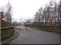
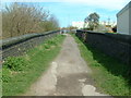
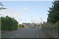
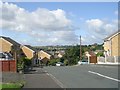
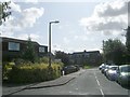
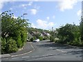
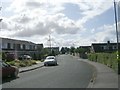
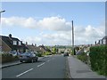
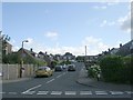
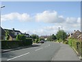
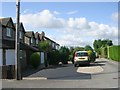
100 photos from this area
Area Information
Key information about the WF17 0JF including its size, population, and administrative classification.
- Area Type
- Postcode
- Area Size
- 7.2 hectares
- Population
- 1616
- Population Density
- 1356 people/km²
House Prices in WF17 0JF
33
Properties
£111,830
Average Sold Price
£31,000
Lowest Price
£500,000
Highest Price
Showing 33 properties
| Address | Type | Beds | Baths | Last Sale Price | Last Sale Date | |
|---|---|---|---|---|---|---|
| 216 Upper Batley Low Lane, Birstall, Batley, WF17 0JF | Detached | 3 | 1 | £230,000 | Nov 2024 | |
| 223 Upper Batley Low Lane, Birstall, Batley, WF17 0JF | Terraced | 1 | - | £95,000 | Jul 2022 | |
| 228 Upper Batley Low Lane, Birstall, Batley, WF17 0JF | Detached | 5 | 4 | £500,000 | Oct 2021 | |
| 227 Upper Batley Low Lane, Birstall, Batley, WF17 0JF | Terraced | 3 | 1 | £66,000 | Nov 2015 | |
| 244 Upper Batley Low Lane, Birstall, Batley, WF17 0JF | house | - | - | £90,000 | Aug 2015 | |
| 242 Upper Batley Low Lane, Birstall, Batley, WF17 0JF | house | - | - | £76,000 | Apr 2015 | |
| 234 Upper Batley Low Lane, Birstall, Batley, WF17 0JF | Terraced | 1 | 1 | £80,000 | Oct 2014 | |
| 250 Upper Batley Low Lane, Birstall, Batley, WF17 0JF | Terraced | 2 | - | £89,950 | Jun 2014 | |
| 225 Upper Batley Low Lane, Birstall, Batley, WF17 0JF | Terraced | 2 | 1 | £77,000 | Dec 2013 | |
| 221 Upper Batley Low Lane, Birstall, Batley, WF17 0JF | house | - | - | £105,000 | Dec 2011 |
Page 1 of 4
Energy Efficiency in WF17 0JF
Amenities
Schools
| Rank | School | Type | Entry gender | Ages |
|---|
Explore more schools in this area
Go to Schools tabDemographics
Household Size
Two person
most common
Accommodation Type
Houses
most common
Tenure
61
majority
Ethnic Group
White
most common
Religion
N/A
most common
Household Composition
N/A
most common
Age
47
median
Adults (30-64 years)
most common
Household Deprivation
N/A
with no deprivation
NS-SEC
28
in Lower managerial occupations
Explore more demographic insights in this area
Go to Demographics tabPlanning
Planning Constraints
- Flood RiskPremium
- Ramsar Wetland SitesPremium
- Area of Outstanding Natural BeautyPremium
- Protected Nature ReservePremium
- Protected WoodlandPremium