Area Overview for WF15 7BL
Photos of WF15 7BL
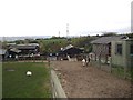
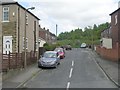
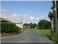
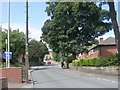
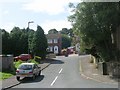
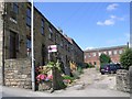
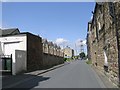
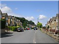
87 photos from this area
Area Information
Key information about the WF15 7BL including its size, population, and administrative classification.
- Area Type
- Postcode
- Area Size
- 6796 m²
- Population
- 1953
- Population Density
- 4141 people/km²
House Prices in WF15 7BL
15
Properties
£91,414
Average Sold Price
£39,950
Lowest Price
£155,000
Highest Price
Showing 15 properties
| Address | Type | Beds | Baths | Last Sale Price | Last Sale Date | |
|---|---|---|---|---|---|---|
| 379 Norristhorpe Lane, Liversedge, WF15 7BL | Terraced | 3 | 1 | £155,000 | Jul 2024 | |
| 389 Norristhorpe Lane, Liversedge, WF15 7BL | Terraced | 3 | 1 | £130,000 | Apr 2019 | |
| 403 Norristhorpe Lane, Liversedge, WF15 7BL | Terraced | 2 | 1 | £50,000 | May 2009 | |
| 395 Norristhorpe Lane, Liversedge, WF15 7BL | house | 3 | 1 | £109,000 | May 2005 | |
| 393 Norristhorpe Lane, Liversedge, WF15 7BL | Terraced | 3 | 1 | £96,000 | Jun 2003 | |
| 383 Norristhorpe Lane, Liversedge, WF15 7BL | Terraced | - | - | £59,950 | Apr 2003 | |
| 391 Norristhorpe Lane, Liversedge, WF15 7BL | Terraced | 3 | 1 | £39,950 | Oct 1998 | |
| 401 Norristhorpe Lane, Liversedge, WF15 7BL | Terraced | 2 | 1 | - | - | |
| 375 Norristhorpe Lane, Liversedge, WF15 7BL | Terraced | 3 | 1 | - | - | |
| 399 Norristhorpe Lane, Liversedge, WF15 7BL | Terraced | - | - | - | - |
Page 1 of 2
Energy Efficiency in WF15 7BL
Amenities
Schools
| Rank | School | Type | Entry gender | Ages |
|---|
Explore more schools in this area
Go to Schools tabDemographics
Household Size
Family (3-5 people)
most common
Accommodation Type
Houses
most common
Tenure
72
majority
Ethnic Group
White
most common
Religion
N/A
most common
Household Composition
N/A
most common
Age
47
median
Adults (30-64 years)
most common
Household Deprivation
N/A
with no deprivation
NS-SEC
27
in Lower managerial occupations
Explore more demographic insights in this area
Go to Demographics tabPlanning
Planning Constraints
- Flood RiskPremium
- Ramsar Wetland SitesPremium
- Area of Outstanding Natural BeautyPremium
- Protected Nature ReservePremium
- Protected WoodlandPremium