Area Overview for WF14 9NH
Photos of WF14 9NH
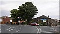
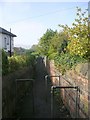
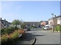
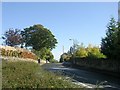
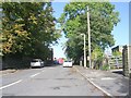
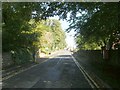
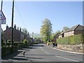
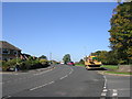
100 photos from this area
Area Information
Key information about the WF14 9NH including its size, population, and administrative classification.
- Area Type
- Postcode
- Area Size
- 1.3 hectares
- Population
- 1545
- Population Density
- 2309 people/km²
House Prices in WF14 9NH
23
Properties
£278,909
Average Sold Price
£82,000
Lowest Price
£440,000
Highest Price
Showing 23 properties
| Address | Type | Beds | Baths | Last Sale Price | Last Sale Date | |
|---|---|---|---|---|---|---|
| 38 Park Drive, Mirfield, WF14 9NH | house | - | - | £270,000 | Aug 2024 | |
| 67 Park Drive, Mirfield, WF14 9NH | Detached | 3 | - | £346,000 | Aug 2022 | |
| 36 Park Drive, Mirfield, WF14 9NH | house | 3 | - | £250,000 | Aug 2022 | |
| 22 Park Drive, Mirfield, WF14 9NH | house | - | - | £440,000 | Jun 2021 | |
| 63 Park Drive, Mirfield, WF14 9NH | Detached | 4 | - | £313,500 | Sep 2019 | |
| 55 Park Drive, Mirfield, WF14 9NH | Detached | 4 | 3 | £415,000 | Aug 2019 | |
| 28 Park Drive, Mirfield, WF14 9NH | Detached | 4 | - | £300,000 | Aug 2014 | |
| 40 Park Drive, Mirfield, WF14 9NH | house | - | - | £235,000 | Aug 2009 | |
| 34 Park Drive, Mirfield, WF14 9NH | Detached | - | - | £318,000 | May 2008 | |
| 59 Park Drive, Mirfield, WF14 9NH | Terraced | - | - | £82,000 | Jun 1999 |
Page 1 of 3
Energy Efficiency in WF14 9NH
Amenities
Schools
| Rank | School | Type | Entry gender | Ages |
|---|
Explore more schools in this area
Go to Schools tabDemographics
Household Size
Two person
most common
Accommodation Type
Houses
most common
Tenure
91
majority
Ethnic Group
White
most common
Religion
N/A
most common
Household Composition
N/A
most common
Age
47
median
Adults (30-64 years)
most common
Household Deprivation
N/A
with no deprivation
NS-SEC
49
in Lower managerial occupations
Explore more demographic insights in this area
Go to Demographics tabPlanning
Planning Constraints
- Flood RiskPremium
- Ramsar Wetland SitesPremium
- Area of Outstanding Natural BeautyPremium
- Protected Nature ReservePremium
- Protected WoodlandPremium