Area Overview for WF14 9AP
Photos of WF14 9AP
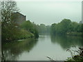
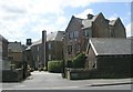
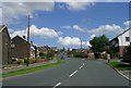
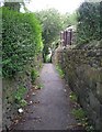
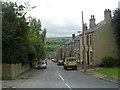
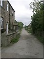
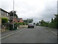
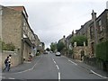
100 photos from this area
Area Information
Key information about the WF14 9AP including its size, population, and administrative classification.
- Area Type
- Postcode
- Area Size
- 8894 m²
- Population
- 1567
- Population Density
- 4796 people/km²
House Prices in WF14 9AP
21
Properties
£128,050
Average Sold Price
£66,000
Lowest Price
£222,000
Highest Price
Showing 21 properties
| Address | Type | Beds | Baths | Last Sale Price | Last Sale Date | |
|---|---|---|---|---|---|---|
| 24 Nettleton Road, Mirfield, WF14 9AP | house | - | - | £132,500 | Jul 2021 | |
| 29 Nettleton Road, Mirfield, WF14 9AP | house | - | - | £222,000 | Jun 2020 | |
| 17 Nettleton Road, Mirfield, WF14 9AP | Terraced | 2 | 1 | £126,000 | Aug 2019 | |
| 42 Nettleton Road, Mirfield, WF14 9AP | Semi-detached | 3 | - | £125,000 | Sep 2018 | |
| 48 Nettleton Road, Mirfield, WF14 9AP | Semi-detached | 3 | 1 | £135,000 | Nov 2017 | |
| 15 Nettleton Road, Mirfield, WF14 9AP | Terraced | 2 | - | £130,000 | Dec 2015 | |
| 26 Nettleton Road, Mirfield, WF14 9AP | Semi-detached | 3 | 1 | £106,500 | Sep 2014 | |
| 40 Nettleton Road, Mirfield, WF14 9AP | house | - | - | £66,000 | Jun 2006 | |
| 38 Nettleton Road, Mirfield, WF14 9AP | Semi-detached | - | - | £137,500 | Nov 2005 | |
| 23 Nettleton Road, Mirfield, WF14 9AP | Semi-detached | - | - | £100,000 | Apr 2005 |
Page 1 of 3
Energy Efficiency in WF14 9AP
Amenities
Schools
| Rank | School | Type | Entry gender | Ages |
|---|
Explore more schools in this area
Go to Schools tabDemographics
Household Size
One person
most common
Accommodation Type
Houses
most common
Tenure
54
majority
Ethnic Group
White
most common
Religion
N/A
most common
Household Composition
N/A
most common
Age
47
median
Adults (30-64 years)
most common
Household Deprivation
N/A
with no deprivation
NS-SEC
27
in Lower managerial occupations
Explore more demographic insights in this area
Go to Demographics tabPlanning
Planning Constraints
- Flood RiskPremium
- Ramsar Wetland SitesPremium
- Area of Outstanding Natural BeautyPremium
- Protected Nature ReservePremium
- Protected WoodlandPremium