Area Overview for WF14 0NT
Photos of WF14 0NT
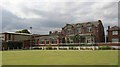
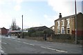
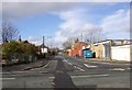
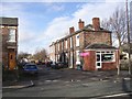
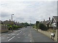
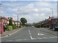
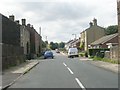
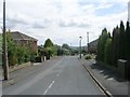
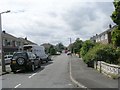
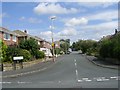
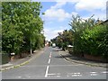
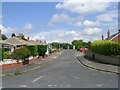
100 photos from this area
Area Information
Key information about the WF14 0NT including its size, population, and administrative classification.
- Area Type
- Postcode
- Area Size
- 4.0 hectares
- Population
- 1541
- Population Density
- 3074 people/km²
House Prices in WF14 0NT
52
Properties
£183,180
Average Sold Price
£93,000
Lowest Price
£425,000
Highest Price
Showing 52 properties
| Address | Type | Beds | Baths | Last Sale Price | Last Sale Date | |
|---|---|---|---|---|---|---|
| 6 Quarryfields, Mirfield, WF14 0NT | Terraced | 3 | 1 | £173,000 | Oct 2024 | |
| 12A Quarryfields, Mirfield, WF14 0NT | Semi-detached | 3 | 2 | £195,000 | Sep 2024 | |
| 2A Quarryfields, Mirfield, WF14 0NT | house | 4 | 1 | £425,000 | Mar 2024 | |
| Lark Rise, Quarryfields, Mirfield, WF14 0NT | Bungalow | 2 | 1 | £280,000 | Sep 2023 | |
| 51 Quarryfields, Mirfield, WF14 0NT | Detached | 3 | 1 | £230,000 | Jul 2023 | |
| 2 Quarryfields, Mirfield, WF14 0NT | house | 3 | 2 | £175,000 | Dec 2022 | |
| 12 Quarryfields, Mirfield, WF14 0NT | house | - | - | £147,000 | Jul 2021 | |
| 36 Quarryfields, Mirfield, WF14 0NT | house | - | - | £212,000 | Jul 2021 | |
| Quarry House, 16 Quarryfields, Mirfield, WF14 0NT | Detached | 5 | 3 | £340,000 | May 2021 | |
| 35 Quarryfields, Mirfield, WF14 0NT | Detached | 3 | 2 | £178,000 | Jul 2017 |
Page 1 of 6
Energy Efficiency in WF14 0NT
Amenities
Schools
| Rank | School | Type | Entry gender | Ages |
|---|
Explore more schools in this area
Go to Schools tabDemographics
Household Size
Two person
most common
Accommodation Type
Houses
most common
Tenure
83
majority
Ethnic Group
White
most common
Religion
N/A
most common
Household Composition
N/A
most common
Age
47
median
Adults (30-64 years)
most common
Household Deprivation
N/A
with no deprivation
NS-SEC
33
in Lower managerial occupations
Explore more demographic insights in this area
Go to Demographics tabPlanning
Planning Constraints
- Flood RiskPremium
- Ramsar Wetland SitesPremium
- Area of Outstanding Natural BeautyPremium
- Protected Nature ReservePremium
- Protected WoodlandPremium