Area Overview for WF14 0EU
Photos of WF14 0EU
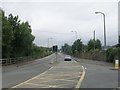
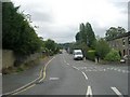
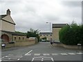
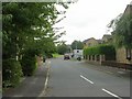
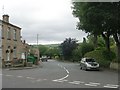
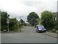
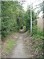
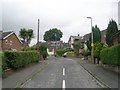
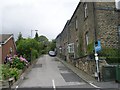
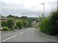
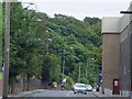
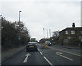
89 photos from this area
Area Information
Key information about the WF14 0EU including its size, population, and administrative classification.
- Area Type
- Postcode
- Area Size
- 7533 m²
- Population
- 1493
- Population Density
- 1467 people/km²
House Prices in WF14 0EU
18
Properties
£141,115
Average Sold Price
£58,000
Lowest Price
£215,000
Highest Price
Showing 18 properties
| Address | Type | Beds | Baths | Last Sale Price | Last Sale Date | |
|---|---|---|---|---|---|---|
| 121 Stocks Bank Road, Mirfield, WF14 0EU | house | - | - | £148,000 | Nov 2024 | |
| 113A Stocks Bank Road, Mirfield, WF14 0EU | Detached | 3 | 2 | £215,000 | Aug 2023 | |
| 156 Stocks Bank Road, Mirfield, WF14 0EU | Semi-detached | - | - | £150,000 | Dec 2019 | |
| 115 Stocks Bank Road, Mirfield, WF14 0EU | Semi-detached | 4 | 2 | £169,000 | Nov 2018 | |
| 111 Stocks Bank Road, Mirfield, WF14 0EU | Semi-detached | 3 | 1 | £169,500 | Apr 2017 | |
| 152 Stocks Bank Road, Mirfield, WF14 0EU | Semi-detached | 3 | 2 | £167,000 | Jul 2016 | |
| 119 Stocks Bank Road, Mirfield, WF14 0EU | Semi-detached | 3 | 1 | £135,000 | Jan 2012 | |
| 142 Stocks Bank Road, Mirfield, WF14 0EU | Semi-detached | 4 | 3 | £169,995 | Nov 2006 | |
| 113 Stocks Bank Road, Mirfield, WF14 0EU | Semi-detached | - | - | £139,000 | Jan 2005 | |
| 154 Stocks Bank Road, Mirfield, WF14 0EU | Detached | 3 | 1 | £146,500 | Nov 2004 |
Page 1 of 2
Energy Efficiency in WF14 0EU
Amenities
Schools
| Rank | School | Type | Entry gender | Ages |
|---|
Explore more schools in this area
Go to Schools tabDemographics
Household Size
Two person
most common
Accommodation Type
Houses
most common
Tenure
86
majority
Ethnic Group
White
most common
Religion
N/A
most common
Household Composition
N/A
most common
Age
47
median
Adults (30-64 years)
most common
Household Deprivation
N/A
with no deprivation
NS-SEC
41
in Lower managerial occupations
Explore more demographic insights in this area
Go to Demographics tabPlanning
Planning Constraints
- Flood RiskPremium
- Ramsar Wetland SitesPremium
- Area of Outstanding Natural BeautyPremium
- Protected Nature ReservePremium
- Protected WoodlandPremium