Area Overview for WF13 4RT
Photos of WF13 4RT
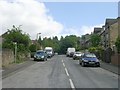

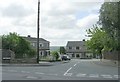
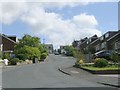
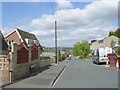
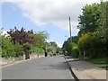
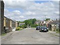
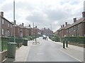
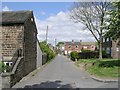
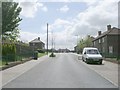
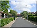
100 photos from this area
Area Information
Key information about the WF13 4RT including its size, population, and administrative classification.
- Area Type
- Postcode
- Area Size
- 1.8 hectares
- Population
- 1659
- Population Density
- 6555 people/km²
House Prices in WF13 4RT
55
Properties
£55,714
Average Sold Price
£10,000
Lowest Price
£135,000
Highest Price
Showing 55 properties
| Address | Type | Beds | Baths | Last Sale Price | Last Sale Date | |
|---|---|---|---|---|---|---|
| 88 School Crescent, Dewsbury Moor, Dewsbury, WF13 4RT | Terraced | 3 | - | £76,000 | Aug 2025 | |
| 77 School Crescent, Dewsbury Moor, Dewsbury, WF13 4RT | house | - | - | £75,000 | Mar 2024 | |
| 86 School Crescent, Dewsbury Moor, Dewsbury, WF13 4RT | Terraced | 3 | 1 | £135,000 | May 2022 | |
| 45 School Crescent, Dewsbury Moor, Dewsbury, WF13 4RT | house | - | - | £84,000 | Aug 2021 | |
| 80 School Crescent, Dewsbury Moor, Dewsbury, WF13 4RT | Terraced | 2 | 1 | £39,999 | Aug 2018 | |
| 92 School Crescent, Dewsbury Moor, Dewsbury, WF13 4RT | Terraced | 3 | 1 | £42,000 | May 2014 | |
| 78 School Crescent, Dewsbury Moor, Dewsbury, WF13 4RT | house | - | - | £50,000 | Oct 2011 | |
| 67 School Crescent, Dewsbury Moor, Dewsbury, WF13 4RT | house | - | - | £56,000 | Jan 2011 | |
| 72 School Crescent, Dewsbury Moor, Dewsbury, WF13 4RT | house | - | - | £60,000 | Aug 2008 | |
| 56 School Crescent, Dewsbury Moor, Dewsbury, WF13 4RT | Semi-detached | 3 | 1 | £74,950 | Mar 2007 |
Page 1 of 6
Energy Efficiency in WF13 4RT
Amenities
Schools
| Rank | School | Type | Entry gender | Ages |
|---|
Explore more schools in this area
Go to Schools tabDemographics
Household Size
One person
most common
Accommodation Type
Houses
most common
Tenure
49
majority
Ethnic Group
White
most common
Religion
N/A
most common
Household Composition
N/A
most common
Age
47
median
Adults (30-64 years)
most common
Household Deprivation
N/A
with no deprivation
NS-SEC
18
in Lower managerial occupations
Explore more demographic insights in this area
Go to Demographics tabPlanning
Planning Constraints
- Flood RiskPremium
- Ramsar Wetland SitesPremium
- Area of Outstanding Natural BeautyPremium
- Protected Nature ReservePremium
- Protected WoodlandPremium