Area Overview for WF13 3BN
Photos of WF13 3BN
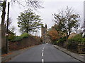
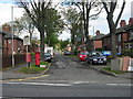
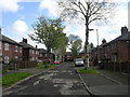
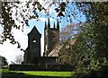
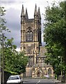
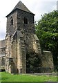
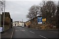
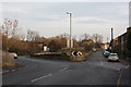
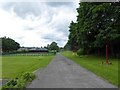
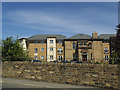
100 photos from this area
Area Information
Key information about the WF13 3BN including its size, population, and administrative classification.
- Area Type
- Postcode
- Area Size
- 5478 m²
- Population
- 1692
- Population Density
- 4086 people/km²
House Prices in WF13 3BN
12
Properties
£115,533
Average Sold Price
£49,000
Lowest Price
£153,500
Highest Price
Showing 12 properties
| Address | Type | Beds | Baths | Last Sale Price | Last Sale Date | |
|---|---|---|---|---|---|---|
| 6 Fir Avenue, Ravensthorpe, Dewsbury, WF13 3BN | Semi-detached | - | - | £93,000 | Dec 2014 | |
| 7 Fir Avenue, Ravensthorpe, Dewsbury, WF13 3BN | house | - | - | £145,000 | Dec 2010 | |
| 9 Fir Avenue, Ravensthorpe, Dewsbury, WF13 3BN | house | - | - | £153,500 | Nov 2007 | |
| 11 Fir Avenue, Ravensthorpe, Dewsbury, WF13 3BN | Semi-detached | - | - | £150,000 | Jan 2007 | |
| 8 Fir Avenue, Ravensthorpe, Dewsbury, WF13 3BN | Semi-detached | - | - | £147,000 | Nov 2004 | |
| 15 Fir Avenue, Ravensthorpe, Dewsbury, WF13 3BN | Semi-detached | - | - | £123,000 | May 2004 | |
| 12 Fir Avenue, Ravensthorpe, Dewsbury, WF13 3BN | Semi-detached | - | - | £119,950 | Apr 2004 | |
| 3 Fir Avenue, Ravensthorpe, Dewsbury, WF13 3BN | house | - | - | £101,000 | Mar 2004 | |
| 10 Fir Avenue, Ravensthorpe, Dewsbury, WF13 3BN | house | - | - | £103,000 | Feb 2004 | |
| 13 Fir Avenue, Ravensthorpe, Dewsbury, WF13 3BN | house | - | - | £115,000 | Feb 2004 |
Page 1 of 2
Energy Efficiency in WF13 3BN
Amenities
Schools
| Rank | School | Type | Entry gender | Ages |
|---|
Explore more schools in this area
Go to Schools tabDemographics
Household Size
Family (3-5 people)
most common
Accommodation Type
Houses
most common
Tenure
59
majority
Ethnic Group
asian_total
most common
Religion
N/A
most common
Household Composition
N/A
most common
Age
22
median
Adults (30-64 years)
most common
Household Deprivation
N/A
with no deprivation
NS-SEC
10
in Lower managerial occupations
Explore more demographic insights in this area
Go to Demographics tabPlanning
Planning Constraints
- Flood RiskPremium
- Ramsar Wetland SitesPremium
- Area of Outstanding Natural BeautyPremium
- Protected Nature ReservePremium
- Protected WoodlandPremium