Area Overview for WF12 0QD
Photos of WF12 0QD
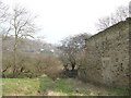
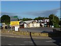
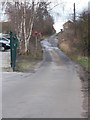
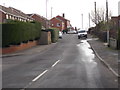
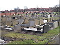
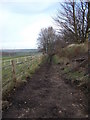
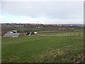
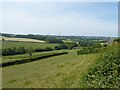
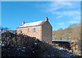
32 photos from this area
Area Information
Key information about the WF12 0QD including its size, population, and administrative classification.
- Area Type
- Postcode
- Area Size
- 3.7 hectares
- Population
- 1243
- Population Density
- 3971 people/km²
House Prices in WF12 0QD
14
Properties
£388,280
Average Sold Price
£249,000
Lowest Price
£615,000
Highest Price
Showing 14 properties
| Address | Type | Beds | Baths | Last Sale Price | Last Sale Date | |
|---|---|---|---|---|---|---|
| 70 Edge Road, Thornhill Edge, Dewsbury, WF12 0QD | Detached | 4 | 3 | £615,000 | Feb 2023 | |
| 94 Edge Road, Thornhill Edge, Dewsbury, WF12 0QD | Cottage | 5 | 2 | £353,900 | Aug 2018 | |
| 64 Edge Road, Thornhill Edge, Dewsbury, WF12 0QD | Detached | - | - | £435,000 | May 2007 | |
| 68 Edge Road, Thornhill Edge, Dewsbury, WF12 0QD | Detached | - | - | £288,500 | Sep 2004 | |
| 44A Edge Road, Thornhill Edge, Dewsbury, WF12 0QD | house | 4 | - | £249,000 | May 2002 | |
| 48 Edge Road, Thornhill Edge, Dewsbury, WF12 0QD | Cottage | 4 | 4 | - | - | |
| Hillside Lodge, 40 Edge Road, Thornhill Edge, Dewsbury, WF12 0QD | Detached | 5 | 2 | - | - | |
| 44 Edge Road, Thornhill Edge, Dewsbury, WF12 0QD | house | - | - | - | - | |
| 92 Edge Road, Thornhill Edge, Dewsbury, WF12 0QD | Terraced | - | - | - | - | |
| 90 Edge Road, Thornhill Edge, Dewsbury, WF12 0QD | Terraced | - | - | - | - |
Page 1 of 2
Energy Efficiency in WF12 0QD
Amenities
Schools
| Rank | School | Type | Entry gender | Ages |
|---|
Explore more schools in this area
Go to Schools tabDemographics
Household Size
Family (3-5 people)
most common
Accommodation Type
Houses
most common
Tenure
48
majority
Ethnic Group
White
most common
Religion
N/A
most common
Household Composition
N/A
most common
Age
47
median
Adults (30-64 years)
most common
Household Deprivation
N/A
with no deprivation
NS-SEC
17
in Lower managerial occupations
Explore more demographic insights in this area
Go to Demographics tabPlanning
Planning Constraints
- Flood RiskPremium
- Ramsar Wetland SitesPremium
- Area of Outstanding Natural BeautyPremium
- Protected Nature ReservePremium
- Protected WoodlandPremium