Area Overview for WF11 9BP
Photos of WF11 9BP
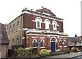
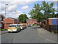
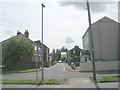
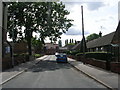
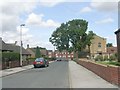
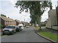
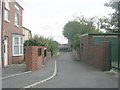
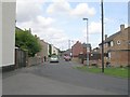
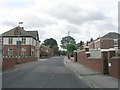
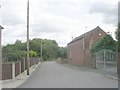
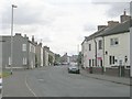
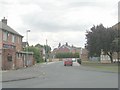
43 photos from this area
Area Information
Key information about the WF11 9BP including its size, population, and administrative classification.
- Area Type
- Postcode
- Area Size
- 5650 m²
- Population
- 1347
- Population Density
- 1416 people/km²
House Prices in WF11 9BP
17
Properties
£141,083
Average Sold Price
£72,000
Lowest Price
£210,000
Highest Price
Showing 17 properties
| Address | Type | Beds | Baths | Last Sale Price | Last Sale Date | |
|---|---|---|---|---|---|---|
| Rose Cottage, Primrose Hill, Knottingley, WF11 9BP | house | - | - | £150,000 | Mar 2023 | |
| Thornlea, Primrose Hill, Knottingley, WF11 9BP | Semi-detached | 3 | 1 | £210,000 | Sep 2022 | |
| Lyndale, Primrose Hill, Knottingley, WF11 9BP | house | - | - | £137,000 | Feb 2022 | |
| Thistleton Bungalow, Primrose Hill, Knottingley, WF11 9BP | Detached | - | - | £162,500 | Jan 2021 | |
| Briar Dene, Primrose Hill, Knottingley, WF11 9BP | house | 3 | - | £72,000 | May 2003 | |
| Meadow Cottage, Primrose Hill, Knottingley, WF11 9BP | house | - | - | £115,000 | Dec 2002 | |
| 3 Primrose Hill, Knottingley, WF11 9BP | Detached | 3 | 1 | - | - | |
| Mayville, Primrose Hill, Knottingley, WF11 9BP | Detached | - | - | - | - | |
| Rosebank Bungalow, Primrose Hill, Knottingley, WF11 9BP | Bungalow | 2 | - | - | - | |
| 7 Primrose Hill, Knottingley, WF11 9BP | Detached | - | - | - | - |
Page 1 of 2
Energy Efficiency in WF11 9BP
Amenities
Schools
| Rank | School | Type | Entry gender | Ages |
|---|
Explore more schools in this area
Go to Schools tabDemographics
Household Size
One person
most common
Accommodation Type
Houses
most common
Tenure
47
majority
Ethnic Group
White
most common
Religion
N/A
most common
Household Composition
N/A
most common
Age
47
median
Adults (30-64 years)
most common
Household Deprivation
N/A
with no deprivation
NS-SEC
16
in Lower managerial occupations
Explore more demographic insights in this area
Go to Demographics tabPlanning
Planning Constraints
- Flood RiskPremium
- Ramsar Wetland SitesPremium
- Area of Outstanding Natural BeautyPremium
- Protected Nature ReservePremium
- Protected WoodlandPremium