Area Overview for WF11 0EH
Photos of WF11 0EH
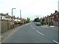
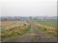

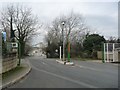
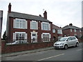
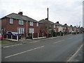
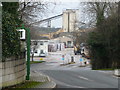
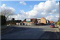
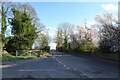
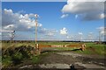
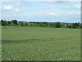
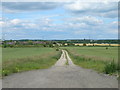
19 photos from this area
Area Information
Key information about the WF11 0EH including its size, population, and administrative classification.
- Area Type
- Postcode
- Area Size
- 16.4 hectares
- Population
- 1411
- Population Density
- 413 people/km²
House Prices in WF11 0EH
58
Properties
£127,933
Average Sold Price
£36,550
Lowest Price
£250,000
Highest Price
Showing 58 properties
| Address | Type | Beds | Baths | Last Sale Price | Last Sale Date | |
|---|---|---|---|---|---|---|
| 28 Downland Crescent, Knottingley, WF11 0EH | Bungalow | 2 | 1 | £195,000 | Nov 2025 | |
| 102 Downland Crescent, Knottingley, WF11 0EH | Semi-detached | 3 | 2 | £214,000 | Sep 2024 | |
| 100 Downland Crescent, Knottingley, WF11 0EH | Semi-detached | 3 | 1 | £190,000 | Aug 2024 | |
| 120 Downland Crescent, Knottingley, WF11 0EH | Detached | 3 | 2 | £250,000 | Aug 2024 | |
| 74 Downland Crescent, Knottingley, WF11 0EH | Semi-detached | 3 | 1 | £150,000 | Jan 2024 | |
| 68 Downland Crescent, Knottingley, WF11 0EH | house | - | - | £182,000 | Dec 2021 | |
| 116 Downland Crescent, Knottingley, WF11 0EH | Semi-detached | 3 | 1 | £155,000 | Dec 2021 | |
| 130 Downland Crescent, Knottingley, WF11 0EH | house | - | - | £196,000 | Jun 2021 | |
| 22 Downland Crescent, Knottingley, WF11 0EH | Bungalow | - | - | £145,000 | May 2021 | |
| 128 Downland Crescent, Knottingley, WF11 0EH | Semi-detached | 3 | 2 | £145,000 | Sep 2020 |
Page 1 of 6
Energy Efficiency in WF11 0EH
Amenities
Schools
| Rank | School | Type | Entry gender | Ages |
|---|
Explore more schools in this area
Go to Schools tabDemographics
Household Size
Two person
most common
Accommodation Type
Houses
most common
Tenure
73
majority
Ethnic Group
White
most common
Religion
N/A
most common
Household Composition
N/A
most common
Age
47
median
Adults (30-64 years)
most common
Household Deprivation
N/A
with no deprivation
NS-SEC
20
in Lower managerial occupations
Explore more demographic insights in this area
Go to Demographics tabPlanning
Planning Constraints
- Flood RiskPremium
- Ramsar Wetland SitesPremium
- Area of Outstanding Natural BeautyPremium
- Protected Nature ReservePremium
- Protected WoodlandPremium