Area Overview for WF10 5XT
Photos of WF10 5XT
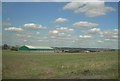

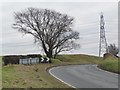


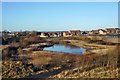
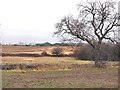
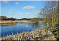
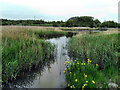
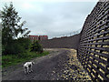

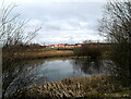
43 photos from this area
Area Information
Key information about the WF10 5XT including its size, population, and administrative classification.
- Area Type
- Postcode
- Area Size
- 2.0 hectares
- Population
- 1391
- Population Density
- 811 people/km²
House Prices in WF10 5XT
61
Properties
£176,431
Average Sold Price
£40,296
Lowest Price
£282,000
Highest Price
Showing 61 properties
| Address | Type | Beds | Baths | Last Sale Price | Last Sale Date | |
|---|---|---|---|---|---|---|
| 11 Haydock Avenue, Castleford, WF10 5XT | Semi-detached | 3 | 2 | £225,000 | Nov 2025 | |
| 50 Haydock Avenue, Castleford, WF10 5XT | house | - | - | £190,000 | Jun 2025 | |
| 33 Haydock Avenue, Castleford, WF10 5XT | Semi-detached | 3 | 2 | £207,500 | Nov 2024 | |
| 49 Haydock Avenue, Castleford, WF10 5XT | Semi-detached | 3 | 2 | £227,000 | Nov 2024 | |
| 68 Haydock Avenue, Castleford, WF10 5XT | Semi-detached | 3 | 2 | £210,000 | Sep 2024 | |
| 6 Haydock Avenue, Castleford, WF10 5XT | Semi-detached | 3 | 2 | £233,000 | Jul 2024 | |
| 48 Haydock Avenue, Castleford, WF10 5XT | Semi-detached | 3 | 1 | £222,000 | Jun 2024 | |
| 31 Haydock Avenue, Castleford, WF10 5XT | Semi-detached | 3 | 1 | £206,500 | May 2023 | |
| 25 Haydock Avenue, Castleford, WF10 5XT | Retail | 3 | 2 | £220,000 | Feb 2023 | |
| 54 Haydock Avenue, Castleford, WF10 5XT | Semi-detached | 3 | 1 | £208,000 | Dec 2022 |
Page 1 of 7
Energy Efficiency in WF10 5XT
Amenities
Schools
| Rank | School | Type | Entry gender | Ages |
|---|
Explore more schools in this area
Go to Schools tabDemographics
Household Size
Two person
most common
Accommodation Type
Houses
most common
Tenure
81
majority
Ethnic Group
White
most common
Religion
N/A
most common
Household Composition
N/A
most common
Age
47
median
Adults (30-64 years)
most common
Household Deprivation
N/A
with no deprivation
NS-SEC
41
in Lower managerial occupations
Explore more demographic insights in this area
Go to Demographics tabPlanning
Planning Constraints
- Flood RiskPremium
- Ramsar Wetland SitesPremium
- Area of Outstanding Natural BeautyPremium
- Protected Nature ReservePremium
- Protected WoodlandPremium