Area Overview for WF10 5QD
Photos of WF10 5QD
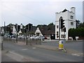


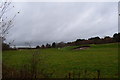
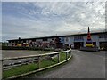
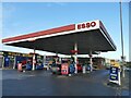

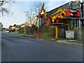
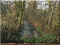

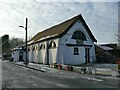
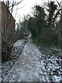
52 photos from this area
Area Information
Key information about the WF10 5QD including its size, population, and administrative classification.
- Area Type
- Postcode
- Area Size
- 5.3 hectares
- Population
- 2555
- Population Density
- 655 people/km²
House Prices in WF10 5QD
17
Properties
£198,800
Average Sold Price
£70,000
Lowest Price
£450,000
Highest Price
Showing 17 properties
| Address | Type | Beds | Baths | Last Sale Price | Last Sale Date | |
|---|---|---|---|---|---|---|
| Whitwood Hall, Whitwood Lane, Castleford, WF10 5QD | hospital_care_home | 4 | 3 | £425,000 | Apr 2024 | |
| 4A Whitwood Lane, Castleford, WF10 5QD | Detached | 4 | 2 | £450,000 | Feb 2024 | |
| The Orchids, Whitwood Lane, Castleford, WF10 5QD | house | - | - | £151,000 | Aug 2014 | |
| Woodlands, Whitwood Lane, Castleford, WF10 5QD | house | - | - | £235,000 | Dec 2013 | |
| Moor House, Whitwood Lane, Castleford, WF10 5QD | Detached | 6 | 1 | £211,000 | Aug 2011 | |
| 4 Whitwood Lane, Castleford, WF10 5QD | Semi-detached | - | - | £130,000 | Dec 2003 | |
| Ferndale, Whitwood Lane, Castleford, WF10 5QD | Detached | - | - | £149,500 | May 2002 | |
| 3 Whitwood Lane, Castleford, WF10 5QD | Semi-detached | - | - | £76,500 | Feb 2002 | |
| Moor Farm, Whitwood Lane, Castleford, WF10 5QD | Detached | - | - | £70,000 | Sep 1998 | |
| The Gables, Whitwood Lane, Castleford, WF10 5QD | Detached | 4 | 3 | £90,000 | Jul 1998 |
Page 1 of 2
Energy Efficiency in WF10 5QD
Amenities
Schools
| Rank | School | Type | Entry gender | Ages |
|---|
Explore more schools in this area
Go to Schools tabDemographics
Household Size
Family (3-5 people)
most common
Accommodation Type
Houses
most common
Tenure
57
majority
Ethnic Group
White
most common
Religion
N/A
most common
Household Composition
N/A
most common
Age
47
median
Adults (30-64 years)
most common
Household Deprivation
N/A
with no deprivation
NS-SEC
27
in Lower managerial occupations
Explore more demographic insights in this area
Go to Demographics tabPlanning
Planning Constraints
- Flood RiskPremium
- Ramsar Wetland SitesPremium
- Area of Outstanding Natural BeautyPremium
- Protected Nature ReservePremium
- Protected WoodlandPremium