Area Overview for WF10 5LW
Photos of WF10 5LW
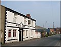
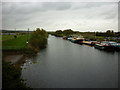
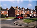
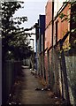
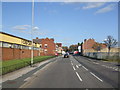
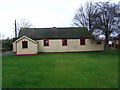
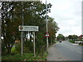
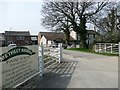
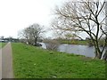
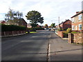
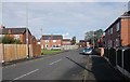
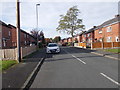
92 photos from this area
Area Information
Key information about the WF10 5LW including its size, population, and administrative classification.
- Area Type
- Postcode
- Area Size
- 9811 m²
- Population
- 2014
- Population Density
- 2214 people/km²
House Prices in WF10 5LW
39
Properties
£135,922
Average Sold Price
£45,000
Lowest Price
£200,000
Highest Price
Showing 39 properties
| Address | Type | Beds | Baths | Last Sale Price | Last Sale Date | |
|---|---|---|---|---|---|---|
| 20 Mill Place, Castleford, WF10 5LW | house | 3 | 2 | £200,000 | Oct 2023 | |
| 3 Mill Place, Castleford, WF10 5LW | Semi-detached | 3 | 1 | £182,000 | Jan 2023 | |
| 51 Mill Place, Castleford, WF10 5LW | house | - | - | £156,000 | Jun 2021 | |
| 35 Mill Place, Castleford, WF10 5LW | Terraced | 3 | 3 | £159,500 | Jan 2021 | |
| 39 Mill Place, Castleford, WF10 5LW | house | - | - | £162,500 | Jan 2021 | |
| 33 Mill Place, Castleford, WF10 5LW | house | 3 | 2 | £159,000 | Dec 2020 | |
| 49 Mill Place, Castleford, WF10 5LW | house | - | - | £150,000 | Nov 2020 | |
| 12 Mill Place, Castleford, WF10 5LW | Semi-detached | 3 | 1 | £130,000 | Sep 2020 | |
| 27 Mill Place, Castleford, WF10 5LW | Semi-detached | 3 | 1 | £152,500 | Aug 2020 | |
| 14 Mill Place, Castleford, WF10 5LW | house | 3 | 1 | £165,000 | Jun 2020 |
Page 1 of 4
Energy Efficiency in WF10 5LW
Amenities
Schools
| Rank | School | Type | Entry gender | Ages |
|---|
Explore more schools in this area
Go to Schools tabDemographics
Household Size
Family (3-5 people)
most common
Accommodation Type
Houses
most common
Tenure
48
majority
Ethnic Group
White
most common
Religion
N/A
most common
Household Composition
N/A
most common
Age
47
median
Adults (30-64 years)
most common
Household Deprivation
N/A
with no deprivation
NS-SEC
17
in Lower managerial occupations
Explore more demographic insights in this area
Go to Demographics tabPlanning
Planning Constraints
- Flood RiskPremium
- Ramsar Wetland SitesPremium
- Area of Outstanding Natural BeautyPremium
- Protected Nature ReservePremium
- Protected WoodlandPremium