Area Overview for WF10 3FH
Photos of WF10 3FH
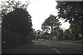

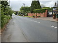
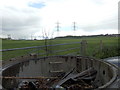
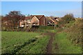
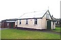
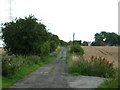
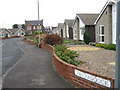
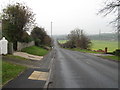
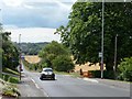
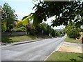
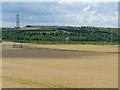
22 photos from this area
Area Information
Key information about the WF10 3FH including its size, population, and administrative classification.
- Area Type
- Postcode
- Area Size
- 4992 m²
- Population
- 1555
- Population Density
- 1324 people/km²
House Prices in WF10 3FH
19
Properties
£633,580
Average Sold Price
£125,000
Lowest Price
£8,826,063
Highest Price
Showing 19 properties
| Address | Type | Beds | Baths | Last Sale Price | Last Sale Date | |
|---|---|---|---|---|---|---|
| 38 Toll Hill Court, Castleford, WF10 3FH | Detached | 3 | 3 | £230,000 | Aug 2025 | |
| 6 Toll Hill Court, Castleford, WF10 3FH | house | - | - | £190,000 | Feb 2025 | |
| 32 Toll Hill Court, Castleford, WF10 3FH | house | 4 | 2 | £200,500 | Jul 2024 | |
| 12 Toll Hill Court, Castleford, WF10 3FH | house | - | - | £185,000 | May 2024 | |
| 22 Toll Hill Court, Castleford, WF10 3FH | house | 4 | 2 | £208,000 | Oct 2022 | |
| 30 Toll Hill Court, Castleford, WF10 3FH | Semi-detached | 4 | 2 | £189,000 | Jan 2022 | |
| 16 Toll Hill Court, Castleford, WF10 3FH | house | - | - | £182,500 | Sep 2021 | |
| 34 Toll Hill Court, Castleford, WF10 3FH | Semi-detached | 3 | 3 | £183,000 | Sep 2021 | |
| 28 Toll Hill Court, Castleford, WF10 3FH | house | - | - | £185,000 | Jun 2021 | |
| 20 Toll Hill Court, Castleford, WF10 3FH | house | - | - | £180,000 | Apr 2021 |
Page 1 of 2
Energy Efficiency in WF10 3FH
Amenities
Schools
| Rank | School | Type | Entry gender | Ages |
|---|
Explore more schools in this area
Go to Schools tabDemographics
Household Size
Two person
most common
Accommodation Type
Houses
most common
Tenure
88
majority
Ethnic Group
White
most common
Religion
N/A
most common
Household Composition
N/A
most common
Age
47
median
Adults (30-64 years)
most common
Household Deprivation
N/A
with no deprivation
NS-SEC
32
in Lower managerial occupations
Explore more demographic insights in this area
Go to Demographics tabPlanning
Planning Constraints
- Flood RiskPremium
- Ramsar Wetland SitesPremium
- Area of Outstanding Natural BeautyPremium
- Protected Nature ReservePremium
- Protected WoodlandPremium