Area Overview for WF10 2SJ
Photos of WF10 2SJ
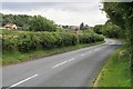
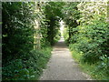
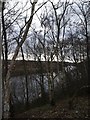
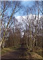
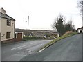


100 photos from this area
Area Information
Key information about the WF10 2SJ including its size, population, and administrative classification.
- Area Type
- Postcode
- Area Size
- 45.8 hectares
- Population
- 2519
- Population Density
- 785 people/km²
House Prices in WF10 2SJ
36
Properties
£198,816
Average Sold Price
£124,995
Lowest Price
£310,000
Highest Price
Showing 36 properties
| Address | Type | Beds | Baths | Last Sale Price | Last Sale Date | |
|---|---|---|---|---|---|---|
| 192 Wheldon Road, Castleford, WF10 2SJ | house | - | - | £303,000 | Oct 2025 | |
| 203 Wheldon Road, Castleford, WF10 2SJ | Detached | 3 | 2 | £244,500 | Aug 2025 | |
| 186 Wheldon Road, Castleford, WF10 2SJ | Terraced | 2 | 1 | £172,000 | Sep 2024 | |
| 190 Wheldon Road, Castleford, WF10 2SJ | Terraced | 2 | 1 | £155,000 | Apr 2024 | |
| 168 Wheldon Road, Castleford, WF10 2SJ | Semi-detached | 3 | 2 | £202,000 | Jan 2024 | |
| 201 Wheldon Road, Castleford, WF10 2SJ | house | - | - | £270,000 | Sep 2023 | |
| 195 Wheldon Road, Castleford, WF10 2SJ | Detached | 3 | 2 | £232,000 | Jul 2023 | |
| 197 Wheldon Road, Castleford, WF10 2SJ | Detached | 3 | 3 | £222,000 | Jan 2023 | |
| 214 Wheldon Road, Castleford, WF10 2SJ | Retail | 4 | 1 | £310,000 | May 2022 | |
| 212 Wheldon Road, Castleford, WF10 2SJ | house | - | - | £263,000 | May 2022 |
Page 1 of 4
Energy Efficiency in WF10 2SJ
Amenities
Schools
| Rank | School | Type | Entry gender | Ages |
|---|
Explore more schools in this area
Go to Schools tabDemographics
Household Size
Family (3-5 people)
most common
Accommodation Type
Houses
most common
Tenure
49
majority
Ethnic Group
White
most common
Religion
N/A
most common
Household Composition
N/A
most common
Age
47
median
Adults (30-64 years)
most common
Household Deprivation
N/A
with no deprivation
NS-SEC
20
in Lower managerial occupations
Explore more demographic insights in this area
Go to Demographics tabPlanning
Planning Constraints
- Flood RiskPremium
- Ramsar Wetland SitesPremium
- Area of Outstanding Natural BeautyPremium
- Protected Nature ReservePremium
- Protected WoodlandPremium