Area Overview for WF10 2RT
Photos of WF10 2RT
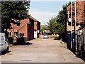
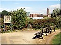
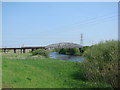
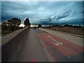
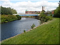
100 photos from this area
Area Information
Key information about the WF10 2RT including its size, population, and administrative classification.
- Area Type
- Postcode
- Area Size
- 7883 m²
- Population
- 1672
- Population Density
- 1111 people/km²
House Prices in WF10 2RT
7
Properties
£68,200
Average Sold Price
£45,000
Lowest Price
£82,500
Highest Price
Showing 7 properties
| Address | Type | Beds | Baths | Last Sale Price | Last Sale Date | |
|---|---|---|---|---|---|---|
| 118A Wheldon Road, Castleford, WF10 2RT | Detached | - | - | £80,000 | Apr 2016 | |
| 122 Wheldon Road, Castleford, WF10 2RT | Terraced | 2 | 1 | £65,000 | Aug 2013 | |
| 120 Wheldon Road, Castleford, WF10 2RT | house | - | - | £68,500 | Aug 2011 | |
| 128 Wheldon Road, Castleford, WF10 2RT | Retail | - | - | £82,500 | May 2009 | |
| 124 Wheldon Road, Castleford, WF10 2RT | house | 2 | - | £45,000 | Dec 2002 | |
| 126 Wheldon Road, Castleford, WF10 2RT | house | - | - | - | - | |
| M T Specialist Cars, Wheldon Road, Castleford, WF10 2RT | Industrial | - | - | - | - |
Energy Efficiency in WF10 2RT
Amenities
Schools
| Rank | School | Type | Entry gender | Ages |
|---|
Explore more schools in this area
Go to Schools tabDemographics
Household Size
One person
most common
Accommodation Type
Houses
most common
Tenure
60
majority
Ethnic Group
White
most common
Religion
N/A
most common
Household Composition
N/A
most common
Age
47
median
Adults (30-64 years)
most common
Household Deprivation
N/A
with no deprivation
NS-SEC
18
in Lower managerial occupations
Explore more demographic insights in this area
Go to Demographics tabPlanning
Planning Constraints
- Flood RiskPremium
- Ramsar Wetland SitesPremium
- Area of Outstanding Natural BeautyPremium
- Protected Nature ReservePremium
- Protected WoodlandPremium