Area Overview for WF1 4RG
Photos of WF1 4RG

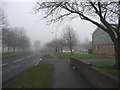
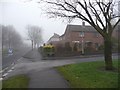
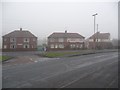
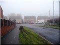
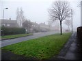
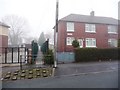
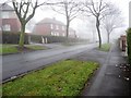
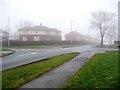
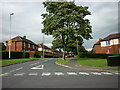
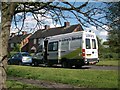
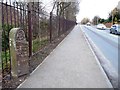
100 photos from this area
Area Information
Key information about the WF1 4RG including its size, population, and administrative classification.
- Area Type
- Postcode
- Area Size
- 2.5 hectares
- Population
- 1646
- Population Density
- 3739 people/km²
House Prices in WF1 4RG
32
Properties
£100,208
Average Sold Price
£31,500
Lowest Price
£186,000
Highest Price
Showing 32 properties
| Address | Type | Beds | Baths | Last Sale Price | Last Sale Date | |
|---|---|---|---|---|---|---|
| 56 Warmfield View, Wakefield, WF1 4RG | Semi-detached | 2 | - | £186,000 | Feb 2023 | |
| 20 Warmfield View, Wakefield, WF1 4RG | Retail | 2 | 1 | £145,000 | Nov 2022 | |
| 8 Warmfield View, Wakefield, WF1 4RG | Semi-detached | 2 | 1 | £127,000 | Feb 2021 | |
| 26 Warmfield View, Wakefield, WF1 4RG | Semi-detached | 2 | 1 | £115,000 | Dec 2017 | |
| 40 Warmfield View, Wakefield, WF1 4RG | Semi-detached | 2 | 1 | £115,000 | Aug 2017 | |
| 58 Warmfield View, Wakefield, WF1 4RG | Semi-detached | 2 | - | £63,000 | Jul 2013 | |
| 66 Warmfield View, Wakefield, WF1 4RG | house | - | - | £90,000 | Sep 2009 | |
| 10 Warmfield View, Wakefield, WF1 4RG | house | - | - | £75,000 | Aug 2009 | |
| 42 Warmfield View, Wakefield, WF1 4RG | Semi-detached | - | - | £84,000 | Apr 2006 | |
| 64 Warmfield View, Wakefield, WF1 4RG | house | - | - | £109,995 | Dec 2005 |
Page 1 of 4
Energy Efficiency in WF1 4RG
Amenities
Schools
| Rank | School | Type | Entry gender | Ages |
|---|
Explore more schools in this area
Go to Schools tabDemographics
Household Size
Family (3-5 people)
most common
Accommodation Type
Houses
most common
Tenure
38
majority
Ethnic Group
White
most common
Religion
N/A
most common
Household Composition
N/A
most common
Age
47
median
Adults (30-64 years)
most common
Household Deprivation
N/A
with no deprivation
NS-SEC
13
in Lower managerial occupations
Explore more demographic insights in this area
Go to Demographics tabPlanning
Planning Constraints
- Flood RiskPremium
- Ramsar Wetland SitesPremium
- Area of Outstanding Natural BeautyPremium
- Protected Nature ReservePremium
- Protected WoodlandPremium