Area Overview for WF1 4PA
Photos of WF1 4PA
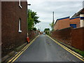
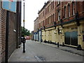
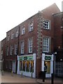
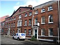
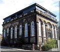
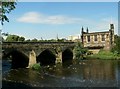
100 photos from this area
Area Information
Key information about the WF1 4PA including its size, population, and administrative classification.
- Area Type
- Postcode
- Area Size
- 1.2 hectares
- Population
- 1690
- Population Density
- 6383 people/km²
House Prices in WF1 4PA
7
Properties
£151,667
Average Sold Price
£130,000
Lowest Price
£175,000
Highest Price
Showing 7 properties
| Address | Type | Beds | Baths | Last Sale Price | Last Sale Date | |
|---|---|---|---|---|---|---|
| 71 Brunswick Street, Wakefield, WF1 4PA | house | - | - | £130,000 | Sep 2023 | |
| 81 Brunswick Street, Wakefield, WF1 4PA | Semi-detached | 5 | 2 | £175,000 | Nov 2014 | |
| 79 Brunswick Street, Wakefield, WF1 4PA | Semi-detached | - | - | £150,000 | Jul 2010 | |
| 75 Brunswick Street, Wakefield, WF1 4PA | Semi-detached | - | - | - | - | |
| 73 Brunswick Street, Wakefield, WF1 4PA | house | - | - | - | - | |
| 77 Brunswick Street, Wakefield, WF1 4PA | Semi-detached | - | - | - | - | |
| West Yorkshire Fire & Rescue Service, Wakefield Fire Station, Brunswick Street, Wakefield, WF1 4PA | emergency_services | - | - | - | - |
Energy Efficiency in WF1 4PA
Amenities
Schools
| Rank | School | Type | Entry gender | Ages |
|---|
Explore more schools in this area
Go to Schools tabDemographics
Household Size
Family (3-5 people)
most common
Accommodation Type
Houses
most common
Tenure
40
majority
Ethnic Group
White
most common
Religion
N/A
most common
Household Composition
N/A
most common
Age
47
median
Adults (30-64 years)
most common
Household Deprivation
N/A
with no deprivation
NS-SEC
15
in Lower managerial occupations
Explore more demographic insights in this area
Go to Demographics tabPlanning
Planning Constraints
- Flood RiskPremium
- Ramsar Wetland SitesPremium
- Area of Outstanding Natural BeautyPremium
- Protected Nature ReservePremium
- Protected WoodlandPremium