Area Overview for WF1 4AP
Photos of WF1 4AP
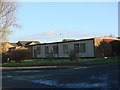
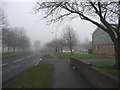
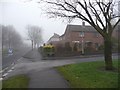
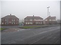
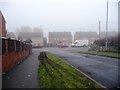
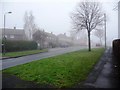
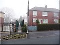
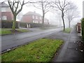
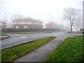
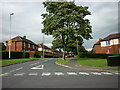
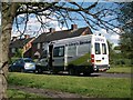
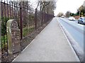
100 photos from this area
Area Information
Key information about the WF1 4AP including its size, population, and administrative classification.
- Area Type
- Postcode
- Area Size
- 8866 m²
- Population
- 1600
- Population Density
- 4790 people/km²
House Prices in WF1 4AP
25
Properties
£117,667
Average Sold Price
£58,000
Lowest Price
£225,000
Highest Price
Showing 25 properties
| Address | Type | Beds | Baths | Last Sale Price | Last Sale Date | |
|---|---|---|---|---|---|---|
| 20 Ivy Lane, Wakefield, WF1 4AP | Flat | 1 | 1 | £70,000 | Nov 2015 | |
| 44 Ivy Lane, Wakefield, WF1 4AP | Bungalow | 3 | - | £225,000 | Mar 2014 | |
| 28 Ivy Lane, Wakefield, WF1 4AP | Flat | - | - | £58,000 | Oct 2013 | |
| 4 Ivy Lane, Wakefield, WF1 4AP | Flat | - | - | - | - | |
| 40B Ivy Lane, Wakefield, WF1 4AP | Bungalow | - | - | - | - | |
| 40A Ivy Lane, Wakefield, WF1 4AP | Bungalow | - | - | - | - | |
| Rose Garth, Ivy Lane, Wakefield, WF1 4AP | hospital_care_home | - | - | - | - | |
| 34 Ivy Lane, Wakefield, WF1 4AP | Flat | - | - | - | - | |
| 32 Ivy Lane, Wakefield, WF1 4AP | Flat | - | - | - | - | |
| 12 Ivy Lane, Wakefield, WF1 4AP | Flat | - | - | - | - |
Page 1 of 3
Energy Efficiency in WF1 4AP
Amenities
Schools
| Rank | School | Type | Entry gender | Ages |
|---|
Explore more schools in this area
Go to Schools tabDemographics
Household Size
One person
most common
Accommodation Type
Houses
most common
Tenure
28
majority
Ethnic Group
White
most common
Religion
N/A
most common
Household Composition
N/A
most common
Age
47
median
Adults (30-64 years)
most common
Household Deprivation
N/A
with no deprivation
NS-SEC
16
in Lower managerial occupations
Explore more demographic insights in this area
Go to Demographics tabPlanning
Planning Constraints
- Flood RiskPremium
- Ramsar Wetland SitesPremium
- Area of Outstanding Natural BeautyPremium
- Protected Nature ReservePremium
- Protected WoodlandPremium