Area Overview for WF1 4AJ
Photos of WF1 4AJ

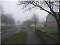
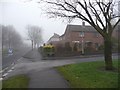
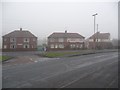
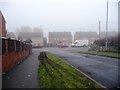
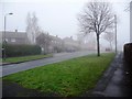
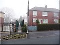
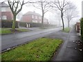
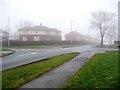
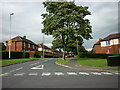
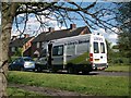
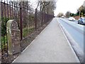
100 photos from this area
Area Information
Key information about the WF1 4AJ including its size, population, and administrative classification.
- Area Type
- Postcode
- Area Size
- 9711 m²
- Population
- 1381
- Population Density
- 4767 people/km²
House Prices in WF1 4AJ
13
Properties
£195,112
Average Sold Price
£84,950
Lowest Price
£338,000
Highest Price
Showing 13 properties
| Address | Type | Beds | Baths | Last Sale Price | Last Sale Date | |
|---|---|---|---|---|---|---|
| 20 Aberford Road, Wakefield, WF1 4AJ | house | - | - | £200,000 | Jan 2025 | |
| 30 Aberford Road, Wakefield, WF1 4AJ | Semi-detached | 4 | 1 | £224,000 | Apr 2020 | |
| 34 Aberford Road, Wakefield, WF1 4AJ | Detached | 4 | - | £338,000 | Jan 2016 | |
| 32 Aberford Road, Wakefield, WF1 4AJ | Detached | 4 | 2 | £249,995 | Dec 2005 | |
| 38 Aberford Road, Wakefield, WF1 4AJ | Detached | - | - | £280,000 | Nov 2005 | |
| 16 Aberford Road, Wakefield, WF1 4AJ | Detached | 3 | 1 | £84,950 | Jun 1999 | |
| 26 Aberford Road, Wakefield, WF1 4AJ | Detached | - | - | £89,950 | Oct 1998 | |
| 28 Aberford Road, Wakefield, WF1 4AJ | Semi-detached | - | - | £94,000 | Jul 1995 | |
| 24 Aberford Road, Wakefield, WF1 4AJ | Terraced | - | - | - | - | |
| 40 Aberford Road, Wakefield, WF1 4AJ | Detached | - | - | - | - |
Page 1 of 2
Energy Efficiency in WF1 4AJ
Amenities
Schools
| Rank | School | Type | Entry gender | Ages |
|---|
Explore more schools in this area
Go to Schools tabDemographics
Household Size
Two person
most common
Accommodation Type
Houses
most common
Tenure
70
majority
Ethnic Group
White
most common
Religion
N/A
most common
Household Composition
N/A
most common
Age
47
median
Adults (30-64 years)
most common
Household Deprivation
N/A
with no deprivation
NS-SEC
33
in Lower managerial occupations
Explore more demographic insights in this area
Go to Demographics tabPlanning
Planning Constraints
- Flood RiskPremium
- Ramsar Wetland SitesPremium
- Area of Outstanding Natural BeautyPremium
- Protected Nature ReservePremium
- Protected WoodlandPremium