Area Overview for WF1 3SQ
Photos of WF1 3SQ

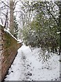
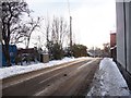
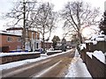
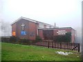
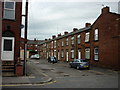
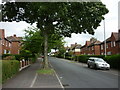
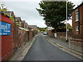
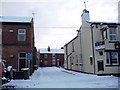
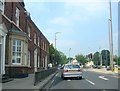
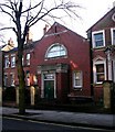
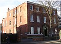
100 photos from this area
Area Information
Key information about the WF1 3SQ including its size, population, and administrative classification.
- Area Type
- Postcode
- Area Size
- 7498 m²
- Population
- 1991
- Population Density
- 7103 people/km²
House Prices in WF1 3SQ
7
Properties
£73,333
Average Sold Price
£30,500
Lowest Price
£97,500
Highest Price
Showing 7 properties
| Address | Type | Beds | Baths | Last Sale Price | Last Sale Date | |
|---|---|---|---|---|---|---|
| 50 Eastmoor Road, Wakefield, WF1 3SQ | Semi-detached | 3 | - | £97,500 | Nov 2018 | |
| 48 Eastmoor Road, Wakefield, WF1 3SQ | Semi-detached | 2 | - | £92,000 | Mar 2015 | |
| 46 Eastmoor Road, Wakefield, WF1 3SQ | house | 2 | - | £30,500 | Mar 1999 | |
| 44 Eastmoor Road, Wakefield, WF1 3SQ | Semi-detached | 2 | 1 | - | - | |
| 52 Eastmoor Road, Wakefield, WF1 3SQ | house | - | - | - | - | |
| 54 Eastmoor Road, Wakefield, WF1 3SQ | Semi-detached | 3 | 1 | - | - | |
| Iss Facilities Services, Pinders Primary Junior And Infant School, Eastmoor Road, Wakefield, WF1 3SQ | Industrial | - | - | - | - |
Energy Efficiency in WF1 3SQ
Amenities
Schools
| Rank | School | Type | Entry gender | Ages |
|---|
Explore more schools in this area
Go to Schools tabDemographics
Household Size
Family (3-5 people)
most common
Accommodation Type
Houses
most common
Tenure
47
majority
Ethnic Group
asian_total
most common
Religion
N/A
most common
Household Composition
N/A
most common
Age
47
median
Adults (30-64 years)
most common
Household Deprivation
N/A
with no deprivation
NS-SEC
13
in Lower managerial occupations
Explore more demographic insights in this area
Go to Demographics tabPlanning
Planning Constraints
- Flood RiskPremium
- Ramsar Wetland SitesPremium
- Area of Outstanding Natural BeautyPremium
- Protected Nature ReservePremium
- Protected WoodlandPremium