Area Overview for WF1 3PJ
Photos of WF1 3PJ
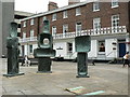


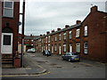
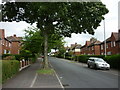
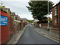
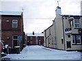
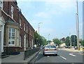

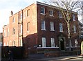
100 photos from this area
Area Information
Key information about the WF1 3PJ including its size, population, and administrative classification.
- Area Type
- Postcode
- Area Size
- 9046 m²
- Population
- 1886
- Population Density
- 5099 people/km²
House Prices in WF1 3PJ
18
Properties
£108,223
Average Sold Price
£35,000
Lowest Price
£250,500
Highest Price
Showing 18 properties
| Address | Type | Beds | Baths | Last Sale Price | Last Sale Date | |
|---|---|---|---|---|---|---|
| 89 Pinderfields Road, Wakefield, WF1 3PJ | Semi-detached | 4 | 3 | £230,000 | Oct 2023 | |
| 101 Pinderfields Road, Wakefield, WF1 3PJ | Detached | 3 | 1 | £250,500 | Jan 2023 | |
| 71 Pinderfields Road, Wakefield, WF1 3PJ | house | - | - | £120,000 | Jul 2017 | |
| 75 Pinderfields Road, Wakefield, WF1 3PJ | Flat | - | - | £110,000 | Nov 2007 | |
| 83 Pinderfields Road, Wakefield, WF1 3PJ | Flat | - | - | £92,000 | Jun 2005 | |
| 85 Pinderfields Road, Wakefield, WF1 3PJ | Flat | 2 | 1 | £89,950 | Feb 2005 | |
| 77 Pinderfields Road, Wakefield, WF1 3PJ | Flat | - | - | £39,000 | Mar 2004 | |
| 95 Pinderfields Road, Wakefield, WF1 3PJ | Semi-detached | - | - | £126,500 | Mar 2004 | |
| 91 Pinderfields Road, Wakefield, WF1 3PJ | Semi-detached | - | - | £53,000 | Mar 2000 | |
| 73 Pinderfields Road, Wakefield, WF1 3PJ | Flat | 2 | - | £35,000 | Aug 1998 |
Page 1 of 2
Energy Efficiency in WF1 3PJ
Amenities
Schools
| Rank | School | Type | Entry gender | Ages |
|---|
Explore more schools in this area
Go to Schools tabDemographics
Household Size
One person
most common
Accommodation Type
Flats
most common
Tenure
34
majority
Ethnic Group
White
most common
Religion
N/A
most common
Household Composition
N/A
most common
Age
47
median
Adults (30-64 years)
most common
Household Deprivation
N/A
with no deprivation
NS-SEC
22
in Lower managerial occupations
Explore more demographic insights in this area
Go to Demographics tabPlanning
Planning Constraints
- Flood RiskPremium
- Ramsar Wetland SitesPremium
- Area of Outstanding Natural BeautyPremium
- Protected Nature ReservePremium
- Protected WoodlandPremium