Area Overview for WF1 2LP
Photos of WF1 2LP
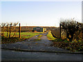
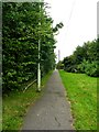
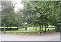
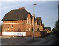
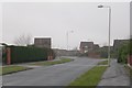
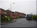
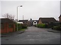
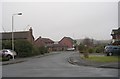
100 photos from this area
Area Information
Key information about the WF1 2LP including its size, population, and administrative classification.
- Area Type
- Postcode
- Area Size
- 1.4 hectares
- Population
- 1520
- Population Density
- 4948 people/km²
House Prices in WF1 2LP
40
Properties
£116,678
Average Sold Price
£70,000
Lowest Price
£150,000
Highest Price
Showing 40 properties
| Address | Type | Beds | Baths | Last Sale Price | Last Sale Date | |
|---|---|---|---|---|---|---|
| 23 Andrew Crescent, Wakefield, WF1 2LP | Retail | 2 | 1 | £150,000 | May 2022 | |
| 53 Andrew Crescent, Wakefield, WF1 2LP | house | - | - | £135,000 | Feb 2021 | |
| 7 Andrew Crescent, Wakefield, WF1 2LP | house | - | - | £139,000 | Jan 2020 | |
| 33 Andrew Crescent, Wakefield, WF1 2LP | Semi-detached | 2 | 1 | £140,000 | May 2019 | |
| 43 Andrew Crescent, Wakefield, WF1 2LP | Semi-detached | 3 | 1 | £139,950 | Apr 2019 | |
| 51 Andrew Crescent, Wakefield, WF1 2LP | Semi-detached | 3 | 1 | £125,000 | May 2017 | |
| 16 Andrew Crescent, Wakefield, WF1 2LP | Semi-detached | 3 | 1 | £110,000 | Feb 2016 | |
| 31 Andrew Crescent, Wakefield, WF1 2LP | Semi-detached | - | - | £75,000 | Jan 2015 | |
| 18 Andrew Crescent, Wakefield, WF1 2LP | house | - | - | £114,000 | Jan 2012 | |
| 6 Andrew Crescent, Wakefield, WF1 2LP | house | - | - | £137,950 | Sep 2008 |
Page 1 of 4
Energy Efficiency in WF1 2LP
Amenities
Schools
| Rank | School | Type | Entry gender | Ages |
|---|
Explore more schools in this area
Go to Schools tabDemographics
Household Size
Two person
most common
Accommodation Type
Houses
most common
Tenure
66
majority
Ethnic Group
White
most common
Religion
N/A
most common
Household Composition
N/A
most common
Age
47
median
Adults (30-64 years)
most common
Household Deprivation
N/A
with no deprivation
NS-SEC
23
in Lower managerial occupations
Explore more demographic insights in this area
Go to Demographics tabPlanning
Planning Constraints
- Flood RiskPremium
- Ramsar Wetland SitesPremium
- Area of Outstanding Natural BeautyPremium
- Protected Nature ReservePremium
- Protected WoodlandPremium