Area Overview for WF1 2JA
Photos of WF1 2JA
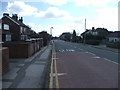
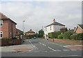
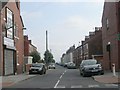
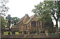
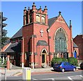
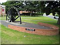
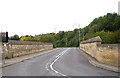
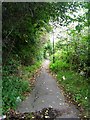
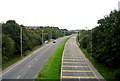
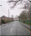
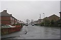
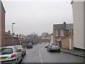
100 photos from this area
Area Information
Key information about the WF1 2JA including its size, population, and administrative classification.
- Area Type
- Postcode
- Area Size
- 6987 m²
- Population
- 2741
- Population Density
- 3018 people/km²
House Prices in WF1 2JA
26
Properties
£138,789
Average Sold Price
£57,000
Lowest Price
£233,000
Highest Price
Showing 26 properties
| Address | Type | Beds | Baths | Last Sale Price | Last Sale Date | |
|---|---|---|---|---|---|---|
| 358 Leeds Road, Wakefield, WF1 2JA | Terraced | 3 | 2 | £233,000 | Oct 2025 | |
| 356 Leeds Road, Wakefield, WF1 2JA | Terraced | 2 | 1 | £175,000 | Apr 2025 | |
| 350 Leeds Road, Wakefield, WF1 2JA | Terraced | 3 | 2 | £205,000 | Feb 2024 | |
| 336 Leeds Road, Wakefield, WF1 2JA | Terraced | 2 | 1 | £152,500 | Jul 2021 | |
| 354 Leeds Road, Wakefield, WF1 2JA | Terraced | 2 | 1 | £105,000 | Jan 2020 | |
| 332 Leeds Road, Wakefield, WF1 2JA | Terraced | 3 | 1 | £109,000 | Apr 2019 | |
| 348 Leeds Road, Wakefield, WF1 2JA | Terraced | 2 | 1 | £139,950 | Dec 2018 | |
| 374 Leeds Road, Wakefield, WF1 2JA | Detached | 3 | 1 | £110,000 | Feb 2017 | |
| 352 Leeds Road, Wakefield, WF1 2JA | Terraced | 2 | 1 | £110,000 | Dec 2016 | |
| 370 Leeds Road, Wakefield, WF1 2JA | Terraced | 3 | - | £160,000 | Dec 2016 |
Page 1 of 3
Energy Efficiency in WF1 2JA
Amenities
Schools
| Rank | School | Type | Entry gender | Ages |
|---|
Explore more schools in this area
Go to Schools tabDemographics
Household Size
Family (3-5 people)
most common
Accommodation Type
Houses
most common
Tenure
68
majority
Ethnic Group
White
most common
Religion
N/A
most common
Household Composition
N/A
most common
Age
47
median
Adults (30-64 years)
most common
Household Deprivation
N/A
with no deprivation
NS-SEC
45
in Lower managerial occupations
Explore more demographic insights in this area
Go to Demographics tabPlanning
Planning Constraints
- Flood RiskPremium
- Ramsar Wetland SitesPremium
- Area of Outstanding Natural BeautyPremium
- Protected Nature ReservePremium
- Protected WoodlandPremium