Area Overview for WF1 2GU
Photos of WF1 2GU
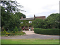
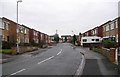
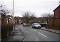
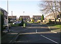
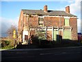
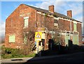
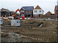
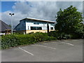
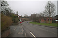
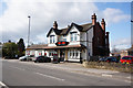
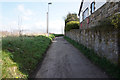
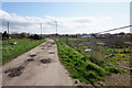
89 photos from this area
Area Information
Key information about the WF1 2GU including its size, population, and administrative classification.
- Area Type
- Postcode
- Area Size
- 8951 m²
- Population
- 2572
- Population Density
- 2507 people/km²
House Prices in WF1 2GU
39
Properties
£236,831
Average Sold Price
£184,950
Lowest Price
£294,950
Highest Price
Showing 39 properties
| Address | Type | Beds | Baths | Last Sale Price | Last Sale Date | |
|---|---|---|---|---|---|---|
| 12 Sintering Close, Wakefield, WF1 2GU | Semi-detached | 2 | 1 | £211,000 | Mar 2025 | |
| 14 Sintering Close, Wakefield, WF1 2GU | Detached | 3 | 1 | £272,000 | Dec 2023 | |
| 33 Sintering Close, Wakefield, WF1 2GU | house | - | - | £294,950 | Nov 2023 | |
| 31 Sintering Close, Wakefield, WF1 2GU | house | - | - | £199,950 | Oct 2023 | |
| 18 Sintering Close, Wakefield, WF1 2GU | house | - | - | £239,950 | Dec 2022 | |
| 10 Sintering Close, Wakefield, WF1 2GU | house | - | - | £204,950 | Dec 2022 | |
| 32 Sintering Close, Wakefield, WF1 2GU | house | - | - | £254,950 | Dec 2022 | |
| 37 Sintering Close, Wakefield, WF1 2GU | Semi-detached | 3 | 2 | £254,950 | Nov 2022 | |
| 26 Sintering Close, Wakefield, WF1 2GU | house | - | - | £227,950 | Nov 2022 | |
| 36 Sintering Close, Wakefield, WF1 2GU | house | - | - | £227,950 | Nov 2022 |
Page 1 of 4
Energy Efficiency in WF1 2GU
Amenities
Schools
| Rank | School | Type | Entry gender | Ages |
|---|
Explore more schools in this area
Go to Schools tabDemographics
Household Size
Family (3-5 people)
most common
Accommodation Type
Houses
most common
Tenure
90
majority
Ethnic Group
White
most common
Religion
N/A
most common
Household Composition
N/A
most common
Age
47
median
Adults (30-64 years)
most common
Household Deprivation
N/A
with no deprivation
NS-SEC
46
in Lower managerial occupations
Explore more demographic insights in this area
Go to Demographics tabPlanning
Planning Constraints
- Flood RiskPremium
- Ramsar Wetland SitesPremium
- Area of Outstanding Natural BeautyPremium
- Protected Nature ReservePremium
- Protected WoodlandPremium