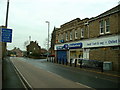
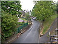
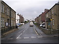
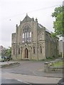
Area Overview for Denby Dale
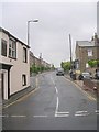
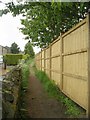
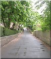
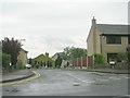
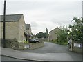
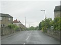
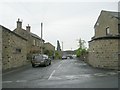
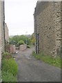
Photos of Denby Dale
Area Information
Living in Denby Dale offers a distinct experience within the Yorkshire Dales, defined by its identity as a civil parish covering 41.2 square kilometres. This specific land mass supports a population of 5,142 residents, creating a community that feels spacious yet reachable. The low population density of 125 people per square kilometre means you will enjoy wide open spaces and a slower pace of life compared to larger English towns. You are purchasing a lifestyle rather than just a property, as daily life here revolves around a strong sense of place and community connection. The area acts as a peaceful retreat where the natural landscape remains a dominant feature of your daily surroundings. Consider how this scale shapes your routine; the distance between homes fosters a quieter environment, but the central location ensures you remain connected to the wider county. Whether you value the privacy of rural living or the accessibility of a recognised parish, Denby Dale provides a settled framework for your future. The consistent population indicates stability, offering reassurance regarding long-term investment and local school capacity. Your view of this locale extends beyond maps to a lived reality where space, safety, and community blend into a cohesive daily rhythm. This is a place defined by tangible boundaries and a resident count that keeps the sense of belonging intact without overcrowding.
- Area Type
- Parish
- Area Size
- 41.2 km²
- Population
- 5142
- Population Density
- 125 people/km²
Demographics
The community character of Denby Dale is sharply defined by an advanced age profile, with a median age of exactly 70 years. This figure indicates a retirement village or mature neighbourhood where you are likely to meet elderly residents and families seeking quieter amenities. The most common age range spans the entire population, suggesting a broad spread rather than a concentrated youth demographic. You should expect a homogenous community where neighbours often share similar life stages and values regarding peace and quiet. Home ownership stands at a significant 79%, revealing a market deeply rooted in long-term residents who have purchased properties rather than rented. This high ownership rate signals stability within the streets and a lack of temporary turn-over. Accommodation types reflect this long-term settlement pattern, though specific breakdowns between detached, semi-detached, and terraced properties are not detailed in current records. The census data does not specify predominant ethnic groups or religious affiliations, yet the demographic skew toward older age groups heavily influences local business and leisure needs. Deprivation levels remain outside the scope of available statistics, meaning your focus should be on the clear dominance of the senior demographic in shaping the local culture. When planning your move, understand that schools, shops, and social clubs cater primarily to this older population, shaping the very fabric of your daily interactions and community events.
Household Size
Accommodation Type
Tenure
Ethnic Group
Religion
Household Composition
Age
Household Deprivation
NS-SEC
Explore more demographic insights in this area
Go to Demographics tabPlanning
Planning Constraints
- Flood RiskPremium
- Ramsar Wetland SitesPremium
- Area of Outstanding Natural BeautyPremium
- Protected Nature ReservePremium
- Protected WoodlandPremium