Area Overview for TS9 5LF
Photos of TS9 5LF
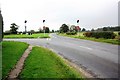
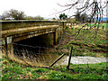
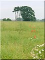
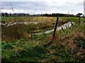
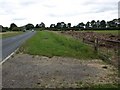
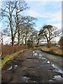
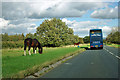

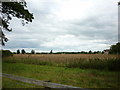
9 photos from this area
Area Information
Key information about the TS9 5LF including its size, population, and administrative classification.
- Area Type
- Postcode
- Area Size
- 22.5 hectares
- Population
- 1579
- Population Density
- 87 people/km²
House Prices in TS9 5LF
14
Properties
£376,250
Average Sold Price
£145,000
Lowest Price
£520,000
Highest Price
Showing 14 properties
| Address | Type | Beds | Baths | Last Sale Price | Last Sale Date | |
|---|---|---|---|---|---|---|
| Greystones, Tame Bridge, Stokesley, TS9 5LF | house | 4 | 3 | £440,000 | Jan 2025 | |
| Sunny View, Tame Bridge, Stokesley, TS9 5LF | Bungalow | - | - | £435,000 | Dec 2022 | |
| Windhover, Tame Bridge, Stokesley, TS9 5LF | house | - | - | £420,000 | Nov 2022 | |
| Tame Bridge Farm, Tame Bridge, Stokesley, TS9 5LF | Detached | 4 | 2 | £455,000 | Dec 2017 | |
| Chinook, Tame Bridge, Stokesley, TS9 5LF | Bungalow | 4 | 2 | £345,000 | Feb 2014 | |
| Hillcrest, Tame Bridge, Stokesley, TS9 5LF | Bungalow | - | - | £520,000 | Apr 2010 | |
| Melbreak, Tame Bridge, Stokesley, TS9 5LF | Detached | - | - | £250,000 | Feb 2009 | |
| Mayfield, Tame Bridge, Stokesley, TS9 5LF | Detached | - | - | £145,000 | Apr 1998 | |
| Croft Hills, Tame Bridge, Stokesley, TS9 5LF | Detached | - | - | - | - | |
| Cringle View, Tame Bridge, Stokesley, TS9 5LF | Detached | - | - | - | - |
Page 1 of 2
Energy Efficiency in TS9 5LF
Amenities
Schools
| Rank | School | Type | Entry gender | Ages |
|---|
Explore more schools in this area
Go to Schools tabDemographics
Household Size
Two person
most common
Accommodation Type
Houses
most common
Tenure
79
majority
Ethnic Group
White
most common
Religion
N/A
most common
Household Composition
N/A
most common
Age
47
median
Adults (30-64 years)
most common
Household Deprivation
N/A
with no deprivation
NS-SEC
45
in Lower managerial occupations
Explore more demographic insights in this area
Go to Demographics tabPlanning
Planning Constraints
- Flood RiskPremium
- Ramsar Wetland SitesPremium
- Area of Outstanding Natural BeautyPremium
- Protected Nature ReservePremium
- Protected WoodlandPremium