Area Overview for TS9 5AR
Photos of TS9 5AR
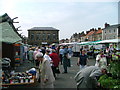
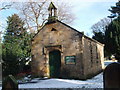
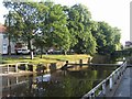
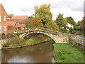
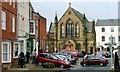
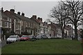
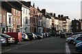
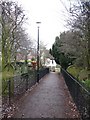
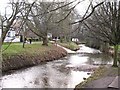
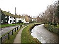
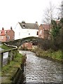
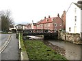
100 photos from this area
Area Information
Key information about the TS9 5AR including its size, population, and administrative classification.
- Area Type
- Postcode
- Area Size
- 4.9 hectares
- Population
- 1726
- Population Density
- 2317 people/km²
House Prices in TS9 5AR
16
Properties
£553,200
Average Sold Price
£80,000
Lowest Price
£850,000
Highest Price
Showing 16 properties
| Address | Type | Beds | Baths | Last Sale Price | Last Sale Date | |
|---|---|---|---|---|---|---|
| 9B Levenside, Stokesley, TS9 5AR | house | - | - | £350,000 | Oct 2024 | |
| Brook House, 21 Levenside, Stokesley, TS9 5AR | house | - | - | £850,000 | Sep 2021 | |
| The Barn, 23 Levenside, Stokesley, TS9 5AR | house | - | - | £820,000 | Oct 2020 | |
| Leven Ford, 3A Levenside, Stokesley, TS9 5AR | Detached | 3 | - | £815,000 | Jun 2019 | |
| 1 Levenside, Stokesley, TS9 5AR | Detached | 3 | - | £435,000 | Oct 2016 | |
| Greenacres, 27 Levenside, Stokesley, TS9 5AR | Detached | 4 | - | £690,000 | Nov 2015 | |
| Wishford, 3 Levenside, Stokesley, TS9 5AR | Terraced | 2 | - | £600,000 | Sep 2011 | |
| Skeiton House, 19 Levenside, Stokesley, TS9 5AR | Detached | - | - | £601,000 | Feb 2007 | |
| 9A Levenside, Stokesley, TS9 5AR | Terraced | - | - | £291,000 | Aug 2005 | |
| 11 Levenside, Stokesley, TS9 5AR | Terraced | 2 | - | £80,000 | Jul 1998 |
Page 1 of 2
Energy Efficiency in TS9 5AR
Amenities
Schools
| Rank | School | Type | Entry gender | Ages |
|---|
Explore more schools in this area
Go to Schools tabDemographics
Household Size
One person
most common
Accommodation Type
Houses
most common
Tenure
47
majority
Ethnic Group
White
most common
Religion
N/A
most common
Household Composition
N/A
most common
Age
47
median
Adults (30-64 years)
most common
Household Deprivation
N/A
with no deprivation
NS-SEC
32
in Lower managerial occupations
Explore more demographic insights in this area
Go to Demographics tabPlanning
Planning Constraints
- Flood RiskPremium
- Ramsar Wetland SitesPremium
- Area of Outstanding Natural BeautyPremium
- Protected Nature ReservePremium
- Protected WoodlandPremium