Area Overview for TS15 0JZ
Photos of TS15 0JZ
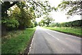
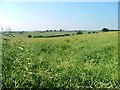
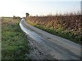
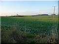
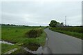
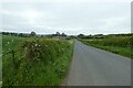
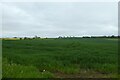
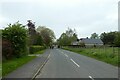
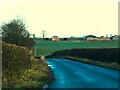
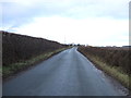
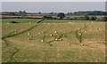
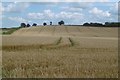
14 photos from this area
Area Information
Key information about the TS15 0JZ including its size, population, and administrative classification.
- Area Type
- Postcode
- Area Size
- 1.9 hectares
- Population
- 2366
- Population Density
- 78 people/km²
House Prices in TS15 0JZ
14
Properties
£365,188
Average Sold Price
£165,000
Lowest Price
£622,500
Highest Price
Showing 14 properties
| Address | Type | Beds | Baths | Last Sale Price | Last Sale Date | |
|---|---|---|---|---|---|---|
| 12 Rudby Lea, Hutton Rudby, TS15 0JZ | Detached | 4 | - | £540,000 | Oct 2021 | |
| 4 Rudby Lea, Hutton Rudby, TS15 0JZ | Detached | 5 | 3 | £622,500 | Jun 2021 | |
| 3 Rudby Lea, Hutton Rudby, TS15 0JZ | house | - | - | £400,000 | Jan 2010 | |
| Callisto, 8 Rudby Lea, Hutton Rudby, TS15 0JZ | Detached | - | - | £363,000 | Jun 2006 | |
| 5 Rudby Lea, Hutton Rudby, TS15 0JZ | house | - | - | £315,000 | Oct 2003 | |
| 13 Rudby Lea, Hutton Rudby, TS15 0JZ | Detached | - | - | £331,000 | Aug 2002 | |
| 6 Rudby Lea, Hutton Rudby, TS15 0JZ | Detached | - | - | £165,000 | Jan 1996 | |
| 14 Rudby Lea, Hutton Rudby, TS15 0JZ | Detached | - | - | £185,000 | Apr 1995 | |
| The Birches, 10 Rudby Lea, Hutton Rudby, TS15 0JZ | Detached | - | - | - | - | |
| 9 Rudby Lea, Hutton Rudby, TS15 0JZ | Detached | - | - | - | - |
Page 1 of 2
Energy Efficiency in TS15 0JZ
Amenities
Schools
| Rank | School | Type | Entry gender | Ages |
|---|
Explore more schools in this area
Go to Schools tabDemographics
Household Size
Two person
most common
Accommodation Type
Houses
most common
Tenure
82
majority
Ethnic Group
White
most common
Religion
N/A
most common
Household Composition
N/A
most common
Age
47
median
Adults (30-64 years)
most common
Household Deprivation
N/A
with no deprivation
NS-SEC
49
in Lower managerial occupations
Explore more demographic insights in this area
Go to Demographics tabPlanning
Planning Constraints
- Flood RiskPremium
- Ramsar Wetland SitesPremium
- Area of Outstanding Natural BeautyPremium
- Protected Nature ReservePremium
- Protected WoodlandPremium