Area Overview for South Milford
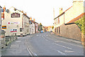
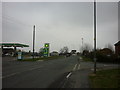
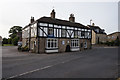
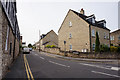
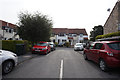
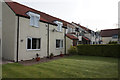
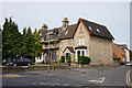
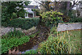
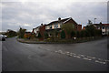
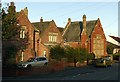
Photos of South Milford


Area Information
South Milford is a compact built-up area in England, spanning 64.7 hectares. It is a community defined by its mature demographic, with a median age of 70, suggesting a population that is largely retired or long-established. The area’s size makes it a focused, walkable environment, with practical access to amenities. Home ownership is high at 72%, reflecting a stable, owner-occupied community. Daily life here is shaped by proximity to local schools, retail, and transport links. The low crime risk score of 81 indicates a safe, secure environment for residents. South Milford’s appeal lies in its balance of convenience and tranquillity, with two primary schools nearby and easy access to rail networks. For those seeking a settled, low-maintenance lifestyle, this area offers a blend of practicality and comfort, with no need to travel far for essentials. The presence of retail outlets like M&S Southlands BP and Spar, alongside rail stations, ensures that daily needs are met without the hassle of long commutes.
- Area Type
- Built Up Area 250
- Area Size
- 64.7 hectares
- Population
- Not available
- Population Density
- Not available
South Milford’s lifestyle is shaped by its proximity to practical amenities. Within walking or short driving distance are five retail outlets, including M&S Southlands BP, Aldi Sherburn in, and Spar, ensuring everyday shopping needs are met. The area’s rail network, with five stations, offers seamless connections to surrounding towns and cities, reducing the need for car ownership. Leeds East Airport provides an additional layer of convenience for travel. While the data does not mention parks or leisure facilities, the presence of multiple retail and transport hubs suggests a community focused on accessibility and ease of living. The combination of retail, rail, and air links creates a lifestyle that balances convenience with the tranquillity of a smaller, settled area.
Amenities
Schools
Residents of South Milford have access to two primary schools: South Milford Community Primary School and South Milford Primary School. Both are primary institutions, though their Ofsted ratings are not included in the data. The presence of two primary schools within the area suggests a focus on local education, which is beneficial for families with young children. The proximity of these schools reduces the need for long commutes, supporting a lifestyle that prioritises convenience. However, the absence of secondary schools in the data means families may need to look further afield for secondary education. The mix of primary schools indicates a community-oriented approach to education, though further details on quality or performance are not available.
| Rank | A + A* % | School | Type | Entry gender | Ages |
|---|---|---|---|---|---|
| 1 | N/A | South Milford Community Primary School | primary | N/A | N/A |
| 2 | N/A | South Milford Primary School | primary | N/A | N/A |
Explore more schools in this area
Go to Schools tabDemographics
South Milford’s population is predominantly elderly, with a median age of 70, which is significantly higher than the national average. The data indicates that the most common age range is “Age: Total,” suggesting a broad demographic spread, though no specific breakdown is available. Home ownership is high, with 72% of households owning their homes, pointing to a community of long-term residents rather than transient renters. The accommodation types and household composition are not specified in the data, but the high ownership rate implies a stable, settled population. There is no information on ethnic diversity or deprivation levels, so these aspects cannot be assessed. The area’s demographic profile suggests a community focused on retirement or long-term residency, with limited data on younger families or transient populations.
Household Size
Accommodation Type
Tenure
Ethnic Group
Religion
Household Composition
Age
Household Deprivation
NS-SEC
Explore more demographic insights in this area
Go to Demographics tabPlanning
Planning Constraints
- Crime RiskLocked