Area Overview for S9 5BD
Photos of S9 5BD
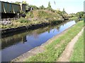
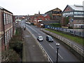
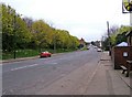
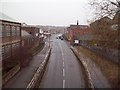
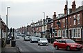
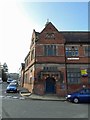
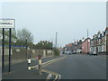
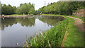
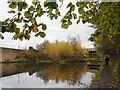
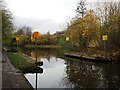
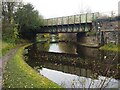
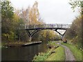
91 photos from this area
Area Information
Key information about the S9 5BD including its size, population, and administrative classification.
- Area Type
- Postcode
- Area Size
- 8660 m²
- Population
- 1711
- Population Density
- 926 people/km²
House Prices in S9 5BD
27
Properties
£86,635
Average Sold Price
£27,000
Lowest Price
£125,000
Highest Price
Showing 27 properties
| Address | Type | Beds | Baths | Last Sale Price | Last Sale Date | |
|---|---|---|---|---|---|---|
| 19 Darnall Drive, Sheffield, S9 5BD | house | - | - | £106,000 | Nov 2023 | |
| 25 Darnall Drive, Sheffield, S9 5BD | Semi-detached | 3 | 1 | £76,295 | Oct 2021 | |
| 18 Darnall Drive, Sheffield, S9 5BD | Semi-detached | 3 | 1 | £105,000 | Mar 2021 | |
| 4 Darnall Drive, Sheffield, S9 5BD | Semi-detached | 3 | 1 | £110,000 | Jan 2021 | |
| 20 Darnall Drive, Sheffield, S9 5BD | house | - | - | £50,000 | Oct 2017 | |
| 2 Darnall Drive, Sheffield, S9 5BD | Semi-detached | 2 | 1 | £85,000 | Aug 2015 | |
| 23 Darnall Drive, Sheffield, S9 5BD | Semi-detached | 3 | - | £70,000 | Oct 2014 | |
| 3 Darnall Drive, Sheffield, S9 5BD | Detached | 2 | 1 | £92,500 | Jul 2012 | |
| 14 Darnall Drive, Sheffield, S9 5BD | Semi-detached | - | - | £70,000 | Oct 2008 | |
| 5 Darnall Drive, Sheffield, S9 5BD | house | - | - | £93,000 | Dec 2007 |
Page 1 of 3
Energy Efficiency in S9 5BD
Amenities
Schools
| Rank | School | Type | Entry gender | Ages |
|---|
Explore more schools in this area
Go to Schools tabDemographics
Household Size
Family (3-5 people)
most common
Accommodation Type
Houses
most common
Tenure
29
majority
Ethnic Group
asian_total
most common
Religion
N/A
most common
Household Composition
N/A
most common
Age
47
median
Adults (30-64 years)
most common
Household Deprivation
N/A
with no deprivation
NS-SEC
9
in Lower managerial occupations
Explore more demographic insights in this area
Go to Demographics tabPlanning
Planning Constraints
- Flood RiskPremium
- Ramsar Wetland SitesPremium
- Area of Outstanding Natural BeautyPremium
- Protected Nature ReservePremium
- Protected WoodlandPremium