Area Overview for S9 3FS
Photos of S9 3FS
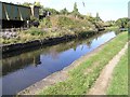
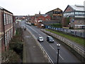
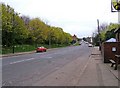
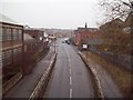
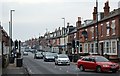
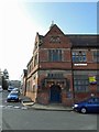
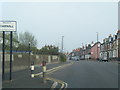
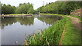
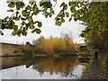
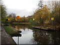
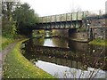
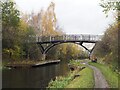
91 photos from this area
Area Information
Key information about the S9 3FS including its size, population, and administrative classification.
- Area Type
- Postcode
- Area Size
- 9885 m²
- Population
- 1924
- Population Density
- 1637 people/km²
House Prices in S9 3FS
21
Properties
£57,089
Average Sold Price
£13,000
Lowest Price
£110,000
Highest Price
Showing 21 properties
| Address | Type | Beds | Baths | Last Sale Price | Last Sale Date | |
|---|---|---|---|---|---|---|
| 220 Staniforth Road, Sheffield, S9 3FS | Terraced | 3 | 1 | £110,000 | Nov 2024 | |
| 254 Staniforth Road, Sheffield, S9 3FS | house | - | - | £79,000 | Sep 2021 | |
| 234 Staniforth Road, Sheffield, S9 3FS | house | - | - | £39,000 | Jan 2021 | |
| 238 Staniforth Road, Sheffield, S9 3FS | Terraced | 3 | 1 | £81,500 | Feb 2019 | |
| 222 Staniforth Road, Sheffield, S9 3FS | Terraced | 4 | 1 | £72,500 | Oct 2018 | |
| 240 Staniforth Road, Sheffield, S9 3FS | house | - | - | £90,000 | Dec 2017 | |
| 248 Staniforth Road, Sheffield, S9 3FS | house | - | - | £50,000 | Feb 2016 | |
| 250 Staniforth Road, Sheffield, S9 3FS | house | - | - | £82,000 | Jun 2008 | |
| 252 Staniforth Road, Sheffield, S9 3FS | house | - | - | £75,500 | Nov 2006 | |
| 224 Staniforth Road, Sheffield, S9 3FS | house | - | - | £38,750 | Dec 2002 |
Page 1 of 3
Energy Efficiency in S9 3FS
Amenities
Schools
| Rank | School | Type | Entry gender | Ages |
|---|
Explore more schools in this area
Go to Schools tabDemographics
Household Size
Family (3-5 people)
most common
Accommodation Type
Houses
most common
Tenure
28
majority
Ethnic Group
asian_total
most common
Religion
N/A
most common
Household Composition
N/A
most common
Age
22
median
Adults (30-64 years)
most common
Household Deprivation
N/A
with no deprivation
NS-SEC
11
in Lower managerial occupations
Explore more demographic insights in this area
Go to Demographics tabPlanning
Planning Constraints
- Flood RiskPremium
- Ramsar Wetland SitesPremium
- Area of Outstanding Natural BeautyPremium
- Protected Nature ReservePremium
- Protected WoodlandPremium