Area Overview for S9 1LA
Photos of S9 1LA
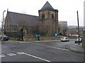
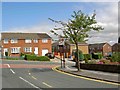
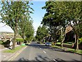

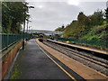
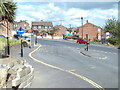
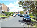
59 photos from this area
Area Information
Key information about the S9 1LA including its size, population, and administrative classification.
- Area Type
- Postcode
- Area Size
- 1.3 hectares
- Population
- 1492
- Population Density
- 1423 people/km²
House Prices in S9 1LA
14
Properties
£60,090
Average Sold Price
£40,000
Lowest Price
£77,500
Highest Price
Showing 14 properties
| Address | Type | Beds | Baths | Last Sale Price | Last Sale Date | |
|---|---|---|---|---|---|---|
| 66 Barrow Road, Sheffield, S9 1LA | house | - | - | £67,500 | Jul 2021 | |
| 68 Barrow Road, Sheffield, S9 1LA | house | - | - | £69,950 | Apr 2021 | |
| 60 Barrow Road, Sheffield, S9 1LA | house | - | - | £77,500 | May 2020 | |
| 58 Barrow Road, Sheffield, S9 1LA | house | - | - | £45,500 | May 2015 | |
| 56 Barrow Road, Sheffield, S9 1LA | house | - | - | £40,000 | Apr 2006 | |
| 72 Barrow Road, Sheffield, S9 1LA | house | 2 | 1 | - | - | |
| Flat 1, The Foundry, 111 Barrow Road, Sheffield, S9 1LA | Flat | - | - | - | - | |
| Flat 2, The Foundry, 111 Barrow Road, Sheffield, S9 1LA | Flat | - | - | - | - | |
| 70 Barrow Road, Sheffield, S9 1LA | house | - | - | - | - | |
| 50 Barrow Road, Sheffield, S9 1LA | Detached | 2 | - | - | - |
Page 1 of 2
Energy Efficiency in S9 1LA
Amenities
Schools
| Rank | School | Type | Entry gender | Ages |
|---|
Explore more schools in this area
Go to Schools tabDemographics
Household Size
Two person
most common
Accommodation Type
Houses
most common
Tenure
64
majority
Ethnic Group
White
most common
Religion
N/A
most common
Household Composition
N/A
most common
Age
47
median
Adults (30-64 years)
most common
Household Deprivation
N/A
with no deprivation
NS-SEC
23
in Lower managerial occupations
Explore more demographic insights in this area
Go to Demographics tabPlanning
Planning Constraints
- Flood RiskPremium
- Ramsar Wetland SitesPremium
- Area of Outstanding Natural BeautyPremium
- Protected Nature ReservePremium
- Protected WoodlandPremium