Area Overview for S81 8SS
Photos of S81 8SS
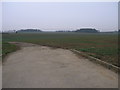
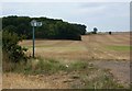
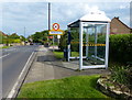
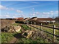
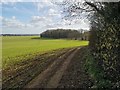
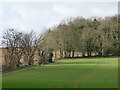
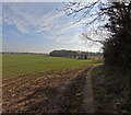
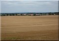
18 photos from this area
Area Information
Key information about the S81 8SS including its size, population, and administrative classification.
- Area Type
- Postcode
- Area Size
- 3.8 hectares
- Population
- 1837
- Population Density
- 178 people/km²
House Prices in S81 8SS
25
Properties
£103,430
Average Sold Price
£45,995
Lowest Price
£250,000
Highest Price
Showing 25 properties
| Address | Type | Beds | Baths | Last Sale Price | Last Sale Date | |
|---|---|---|---|---|---|---|
| 15 Whitfield Gardens, Woodsetts, Rotherham, S81 8SS | Detached | 2 | 1 | £170,000 | Aug 2022 | |
| 20 Whitfield Gardens, Woodsetts, Rotherham, S81 8SS | Semi-detached | 3 | - | £131,850 | Jun 2021 | |
| 5 Whitfield Gardens, Woodsetts, Rotherham, S81 8SS | Semi-detached | 2 | 1 | £127,500 | Dec 2019 | |
| 6 Whitfield Gardens, Woodsetts, Rotherham, S81 8SS | Semi-detached | 2 | 1 | £128,000 | Jul 2018 | |
| 7 Whitfield Gardens, Woodsetts, Rotherham, S81 8SS | Semi-detached | 2 | 1 | £95,950 | Nov 2014 | |
| 18 Whitfield Gardens, Woodsetts, Rotherham, S81 8SS | Semi-detached | 3 | 1 | £129,000 | Apr 2014 | |
| 23 Whitfield Gardens, Woodsetts, Rotherham, S81 8SS | Detached | - | - | £250,000 | Dec 2008 | |
| 10 Whitfield Gardens, Woodsetts, Rotherham, S81 8SS | Detached | 2 | 1 | £130,000 | Oct 2008 | |
| 11 Whitfield Gardens, Woodsetts, Rotherham, S81 8SS | Semi-detached | - | - | £132,950 | Oct 2007 | |
| 28 Whitfield Gardens, Woodsetts, Rotherham, S81 8SS | Semi-detached | - | - | £153,000 | May 2006 |
Page 1 of 3
Energy Efficiency in S81 8SS
Amenities
Schools
| Rank | School | Type | Entry gender | Ages |
|---|
Explore more schools in this area
Go to Schools tabDemographics
Household Size
Two person
most common
Accommodation Type
Houses
most common
Tenure
85
majority
Ethnic Group
White
most common
Religion
N/A
most common
Household Composition
N/A
most common
Age
47
median
Adults (30-64 years)
most common
Household Deprivation
N/A
with no deprivation
NS-SEC
35
in Lower managerial occupations
Explore more demographic insights in this area
Go to Demographics tabPlanning
Planning Constraints
- Flood RiskPremium
- Ramsar Wetland SitesPremium
- Area of Outstanding Natural BeautyPremium
- Protected Nature ReservePremium
- Protected WoodlandPremium