Area Overview for S8 8EY
Photos of S8 8EY
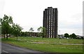
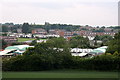
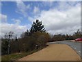
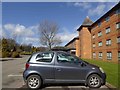
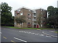
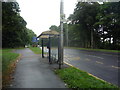
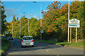
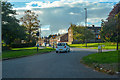
44 photos from this area
Area Information
Key information about the S8 8EY including its size, population, and administrative classification.
- Area Type
- Postcode
- Area Size
- 9365 m²
- Population
- 1660
- Population Density
- 6083 people/km²
House Prices in S8 8EY
24
Properties
£62,038
Average Sold Price
£16,000
Lowest Price
£84,000
Highest Price
Showing 24 properties
| Address | Type | Beds | Baths | Last Sale Price | Last Sale Date | |
|---|---|---|---|---|---|---|
| 45 Bowshaw Avenue, Sheffield, S8 8EY | Terraced | 3 | 1 | £70,100 | Mar 2024 | |
| 11 Bowshaw Avenue, Sheffield, S8 8EY | Retail | 3 | 1 | £80,000 | Dec 2022 | |
| 41 Bowshaw Avenue, Sheffield, S8 8EY | house | - | - | £84,000 | Nov 2021 | |
| 23 Bowshaw Avenue, Sheffield, S8 8EY | house | - | - | £70,000 | Jul 2020 | |
| 13 Bowshaw Avenue, Sheffield, S8 8EY | Semi-detached | 3 | 1 | £72,500 | Feb 2019 | |
| 7 Bowshaw Avenue, Sheffield, S8 8EY | house | 3 | - | £48,500 | Sep 2014 | |
| 33 Bowshaw Avenue, Sheffield, S8 8EY | house | 3 | - | £50,000 | Mar 2014 | |
| 27 Bowshaw Avenue, Sheffield, S8 8EY | Terraced | 3 | - | £58,000 | Nov 2010 | |
| 17 Bowshaw Avenue, Sheffield, S8 8EY | Terraced | - | - | £66,500 | Aug 2007 | |
| 37 Bowshaw Avenue, Sheffield, S8 8EY | Terraced | - | - | £69,950 | Jul 2005 |
Page 1 of 3
Energy Efficiency in S8 8EY
Amenities
Schools
| Rank | School | Type | Entry gender | Ages |
|---|
Explore more schools in this area
Go to Schools tabDemographics
Household Size
One person
most common
Accommodation Type
Flats
most common
Tenure
23
majority
Ethnic Group
White
most common
Religion
N/A
most common
Household Composition
N/A
most common
Age
47
median
Adults (30-64 years)
most common
Household Deprivation
N/A
with no deprivation
NS-SEC
12
in Lower managerial occupations
Explore more demographic insights in this area
Go to Demographics tabPlanning
Planning Constraints
- Flood RiskPremium
- Ramsar Wetland SitesPremium
- Area of Outstanding Natural BeautyPremium
- Protected Nature ReservePremium
- Protected WoodlandPremium