Area Overview for S75 4LR
Photos of S75 4LR
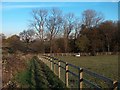
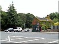
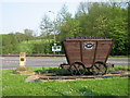
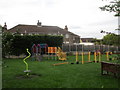
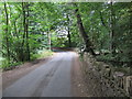
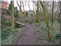
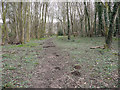

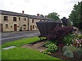
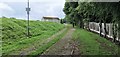
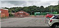
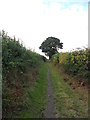
26 photos from this area
Area Information
Key information about the S75 4LR including its size, population, and administrative classification.
- Area Type
- Postcode
- Area Size
- 1.3 hectares
- Population
- 1571
- Population Density
- 483 people/km²
House Prices in S75 4LR
7
Properties
£260,625
Average Sold Price
£165,000
Lowest Price
£455,000
Highest Price
Showing 7 properties
| Address | Type | Beds | Baths | Last Sale Price | Last Sale Date | |
|---|---|---|---|---|---|---|
| Old School House, 101 High Street, Silkstone, Barnsley, S75 4LR | Detached | 4 | 2 | £455,000 | Jul 2025 | |
| 99 High Street, Silkstone, Barnsley, S75 4LR | Semi-detached | 3 | 1 | £165,000 | Sep 2021 | |
| 95 High Street, Silkstone, Barnsley, S75 4LR | Retail | 3 | 2 | £200,000 | Nov 2019 | |
| Beckside Cottage, 84 High Street, Silkstone, Barnsley, S75 4LR | Detached | - | - | £222,500 | Feb 2001 | |
| 97 High Street, Silkstone, Barnsley, S75 4LR | Semi-detached | - | - | - | - | |
| Catering Services, Silkstone Primary School, High Street, Silkstone, Barnsley, S75 4LR | Restaurant | - | - | - | - | |
| Silkstone Pre School Play Group, High Street, Silkstone, Barnsley, S75 4LR | commercial | - | - | - | - |
Energy Efficiency in S75 4LR
Amenities
Schools
| Rank | School | Type | Entry gender | Ages |
|---|
Explore more schools in this area
Go to Schools tabDemographics
Household Size
Two person
most common
Accommodation Type
Houses
most common
Tenure
84
majority
Ethnic Group
White
most common
Religion
N/A
most common
Household Composition
N/A
most common
Age
47
median
Adults (30-64 years)
most common
Household Deprivation
N/A
with no deprivation
NS-SEC
47
in Lower managerial occupations
Explore more demographic insights in this area
Go to Demographics tabPlanning
Planning Constraints
- Flood RiskPremium
- Ramsar Wetland SitesPremium
- Area of Outstanding Natural BeautyPremium
- Protected Nature ReservePremium
- Protected WoodlandPremium