Area Overview for S75 2TW
Photos of S75 2TW
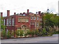

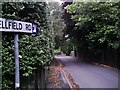
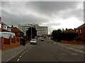
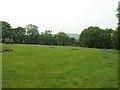
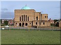

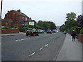
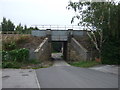
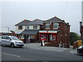
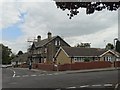
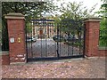
18 photos from this area
Area Information
Key information about the S75 2TW including its size, population, and administrative classification.
- Area Type
- Postcode
- Area Size
- 1.1 hectares
- Population
- 1441
- Population Density
- 5327 people/km²
House Prices in S75 2TW
40
Properties
£159,970
Average Sold Price
£47,950
Lowest Price
£330,000
Highest Price
Showing 40 properties
| Address | Type | Beds | Baths | Last Sale Price | Last Sale Date | |
|---|---|---|---|---|---|---|
| 22 Bond Road, Old Town, Barnsley, S75 2TW | house | - | - | £312,500 | Mar 2025 | |
| 24 Bond Road, Old Town, Barnsley, S75 2TW | Semi-detached | 4 | 1 | £282,500 | Jul 2024 | |
| 12 Bond Road, Old Town, Barnsley, S75 2TW | Semi-detached | 3 | 2 | £330,000 | Oct 2023 | |
| 27 Bond Road, Old Town, Barnsley, S75 2TW | Semi-detached | 3 | 1 | £269,000 | Jun 2023 | |
| 33 Bond Road, Old Town, Barnsley, S75 2TW | house | - | - | £245,000 | Jul 2021 | |
| 59 Bond Road, Old Town, Barnsley, S75 2TW | Terraced | 3 | 1 | £125,000 | May 2020 | |
| 55 Bond Road, Old Town, Barnsley, S75 2TW | house | - | - | £140,000 | Nov 2017 | |
| 45 Bond Road, Old Town, Barnsley, S75 2TW | Semi-detached | 3 | - | £145,000 | Oct 2015 | |
| 14 Bond Road, Old Town, Barnsley, S75 2TW | Semi-detached | 3 | 1 | £135,000 | Feb 2015 | |
| 26 Bond Road, Old Town, Barnsley, S75 2TW | house | - | - | £136,000 | Oct 2012 |
Page 1 of 4
Energy Efficiency in S75 2TW
Amenities
Schools
| Rank | School | Type | Entry gender | Ages |
|---|
Explore more schools in this area
Go to Schools tabDemographics
Household Size
Two person
most common
Accommodation Type
Houses
most common
Tenure
69
majority
Ethnic Group
White
most common
Religion
N/A
most common
Household Composition
N/A
most common
Age
47
median
Adults (30-64 years)
most common
Household Deprivation
N/A
with no deprivation
NS-SEC
31
in Lower managerial occupations
Explore more demographic insights in this area
Go to Demographics tabPlanning
Planning Constraints
- Flood RiskPremium
- Ramsar Wetland SitesPremium
- Area of Outstanding Natural BeautyPremium
- Protected Nature ReservePremium
- Protected WoodlandPremium