Area Overview for S75 1HA
Photos of S75 1HA
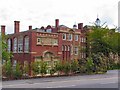
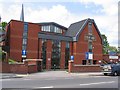
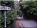
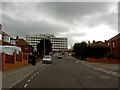
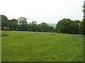
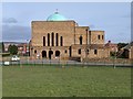

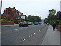
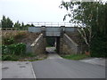
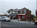
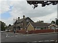
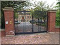
18 photos from this area
Area Information
Key information about the S75 1HA including its size, population, and administrative classification.
- Area Type
- Postcode
- Area Size
- 2.0 hectares
- Population
- 2581
- Population Density
- 2160 people/km²
House Prices in S75 1HA
39
Properties
£126,672
Average Sold Price
£32,950
Lowest Price
£240,000
Highest Price
Showing 39 properties
| Address | Type | Beds | Baths | Last Sale Price | Last Sale Date | |
|---|---|---|---|---|---|---|
| 174 Huddersfield Road, Barnsley, S75 1HA | Detached | 3 | 1 | £160,000 | May 2025 | |
| 122 Huddersfield Road, Barnsley, S75 1HA | house | - | - | £220,000 | May 2022 | |
| 147 Huddersfield Road, Barnsley, S75 1HA | Semi-detached | 3 | - | £135,000 | Jun 2021 | |
| 126 Huddersfield Road, Barnsley, S75 1HA | house | - | - | £240,000 | Mar 2021 | |
| 114 Huddersfield Road, Barnsley, S75 1HA | Semi-detached | 3 | 1 | £136,000 | Sep 2020 | |
| 112 Huddersfield Road, Barnsley, S75 1HA | house | - | - | £118,000 | Oct 2018 | |
| 155 Huddersfield Road, Barnsley, S75 1HA | Semi-detached | 4 | - | £139,950 | Sep 2016 | |
| 151 Huddersfield Road, Barnsley, S75 1HA | house | 3 | - | £97,500 | Oct 2014 | |
| 157 Huddersfield Road, Barnsley, S75 1HA | Semi-detached | 3 | - | £60,000 | Jun 2014 | |
| 120 Huddersfield Road, Barnsley, S75 1HA | Semi-detached | 3 | - | £115,000 | Jul 2013 |
Page 1 of 4
Energy Efficiency in S75 1HA
Amenities
Schools
| Rank | School | Type | Entry gender | Ages |
|---|
Explore more schools in this area
Go to Schools tabDemographics
Household Size
Two person
most common
Accommodation Type
Houses
most common
Tenure
72
majority
Ethnic Group
White
most common
Religion
N/A
most common
Household Composition
N/A
most common
Age
47
median
Adults (30-64 years)
most common
Household Deprivation
N/A
with no deprivation
NS-SEC
33
in Lower managerial occupations
Explore more demographic insights in this area
Go to Demographics tabPlanning
Planning Constraints
- Flood RiskPremium
- Ramsar Wetland SitesPremium
- Area of Outstanding Natural BeautyPremium
- Protected Nature ReservePremium
- Protected WoodlandPremium