Area Overview for S73 8HS
Photos of S73 8HS
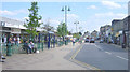
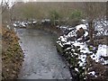
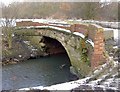
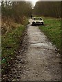
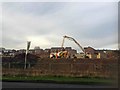

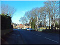
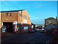
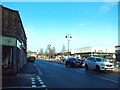
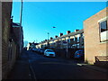
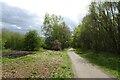
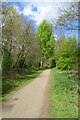
64 photos from this area
Area Information
Key information about the S73 8HS including its size, population, and administrative classification.
- Area Type
- Postcode
- Area Size
- 1.2 hectares
- Population
- 2255
- Population Density
- 2278 people/km²
House Prices in S73 8HS
40
Properties
£67,125
Average Sold Price
£22,000
Lowest Price
£111,500
Highest Price
Showing 40 properties
| Address | Type | Beds | Baths | Last Sale Price | Last Sale Date | |
|---|---|---|---|---|---|---|
| 99 High Street, Wombwell, Barnsley, S73 8HS | Detached | 3 | 1 | £111,500 | Oct 2019 | |
| 111 High Street, Wombwell, Barnsley, S73 8HS | Terraced | 3 | 1 | £58,000 | Oct 2015 | |
| 101 High Street, Wombwell, Barnsley, S73 8HS | Semi-detached | 2 | 1 | £77,000 | Sep 2007 | |
| 103 High Street, Wombwell, Barnsley, S73 8HS | house | - | - | £22,000 | Jun 2002 | |
| 67B High Street, Wombwell, Barnsley, S73 8HS | Flat | 4 | - | - | - | |
| Flat 1, 65 High Street, Wombwell, Barnsley, S73 8HS | Flat | - | - | - | - | |
| The Stables Rear Of, 105 High Street, Wombwell, Barnsley, S73 8HS | Terraced | 3 | 1 | - | - | |
| 79A High Street, Wombwell, Barnsley, S73 8HS | Flat | 3 | - | - | - | |
| Former 63A, High Street, Wombwell, Barnsley, S73 8HS | Flat | - | - | - | - | |
| Flat 51B Above, 51 High Street, Wombwell, Barnsley, S73 8HS | Flat | - | - | - | - |
Page 1 of 4
Energy Efficiency in S73 8HS
Amenities
Schools
| Rank | School | Type | Entry gender | Ages |
|---|
Explore more schools in this area
Go to Schools tabDemographics
Household Size
Two person
most common
Accommodation Type
Houses
most common
Tenure
54
majority
Ethnic Group
White
most common
Religion
N/A
most common
Household Composition
N/A
most common
Age
47
median
Adults (30-64 years)
most common
Household Deprivation
N/A
with no deprivation
NS-SEC
21
in Lower managerial occupations
Explore more demographic insights in this area
Go to Demographics tabPlanning
Planning Constraints
- Flood RiskPremium
- Ramsar Wetland SitesPremium
- Area of Outstanding Natural BeautyPremium
- Protected Nature ReservePremium
- Protected WoodlandPremium