Area Overview for S73 0XF
Photos of S73 0XF
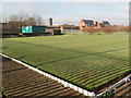
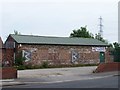
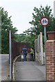
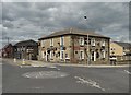

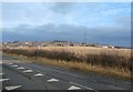
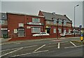
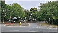
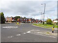
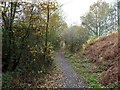
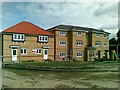
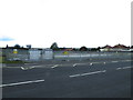
29 photos from this area
Area Information
Key information about the S73 0XF including its size, population, and administrative classification.
- Area Type
- Postcode
- Area Size
- 1.0 hectares
- Population
- 1882
- Population Density
- 3169 people/km²
House Prices in S73 0XF
28
Properties
£59,545
Average Sold Price
£19,500
Lowest Price
£91,000
Highest Price
Showing 28 properties
| Address | Type | Beds | Baths | Last Sale Price | Last Sale Date | |
|---|---|---|---|---|---|---|
| 227 Wath Road, Brampton Bierlow, Rotherham, S73 0XF | Semi-detached | 4 | 1 | £90,000 | Nov 2021 | |
| 203 Wath Road, Brampton Bierlow, Rotherham, S73 0XF | house | - | - | £80,000 | May 2019 | |
| 217 Wath Road, Brampton Bierlow, Rotherham, S73 0XF | house | - | - | £72,000 | Feb 2017 | |
| 235 Wath Road, Brampton Bierlow, Rotherham, S73 0XF | Semi-detached | 3 | - | £91,000 | Dec 2015 | |
| 209 Wath Road, Brampton Bierlow, Rotherham, S73 0XF | house | 4 | 1 | £50,000 | Jan 2013 | |
| 211 Wath Road, Brampton Bierlow, Rotherham, S73 0XF | house | - | - | £55,000 | Oct 2012 | |
| 221 Wath Road, Brampton Bierlow, Rotherham, S73 0XF | Semi-detached | 3 | 1 | £71,550 | Feb 2005 | |
| 225 Wath Road, Brampton Bierlow, Rotherham, S73 0XF | house | - | - | £42,500 | Aug 2003 | |
| 245 Wath Road, Brampton Bierlow, Rotherham, S73 0XF | Semi-detached | - | - | £49,950 | Nov 2002 | |
| 219 Wath Road, Brampton Bierlow, Rotherham, S73 0XF | Semi-detached | - | - | £33,500 | Jan 2002 |
Page 1 of 3
Energy Efficiency in S73 0XF
Amenities
Schools
| Rank | School | Type | Entry gender | Ages |
|---|
Explore more schools in this area
Go to Schools tabDemographics
Household Size
Family (3-5 people)
most common
Accommodation Type
Houses
most common
Tenure
56
majority
Ethnic Group
White
most common
Religion
N/A
most common
Household Composition
N/A
most common
Age
47
median
Adults (30-64 years)
most common
Household Deprivation
N/A
with no deprivation
NS-SEC
20
in Lower managerial occupations
Explore more demographic insights in this area
Go to Demographics tabPlanning
Planning Constraints
- Flood RiskPremium
- Ramsar Wetland SitesPremium
- Area of Outstanding Natural BeautyPremium
- Protected Nature ReservePremium
- Protected WoodlandPremium