Area Overview for S72 8WH
Photos of S72 8WH
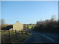
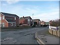
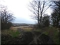
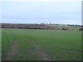
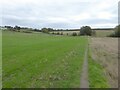
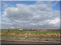
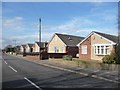
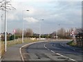
19 photos from this area
Area Information
Key information about the S72 8WH including its size, population, and administrative classification.
- Area Type
- Postcode
- Area Size
- 5.5 hectares
- Population
- 1576
- Population Density
- 805 people/km²
House Prices in S72 8WH
22
Properties
£152,243
Average Sold Price
£98,700
Lowest Price
£240,000
Highest Price
Showing 22 properties
| Address | Type | Beds | Baths | Last Sale Price | Last Sale Date | |
|---|---|---|---|---|---|---|
| 22 Netherfield Croft, Shafton, Barnsley, S72 8WH | Detached | - | - | £130,000 | Sep 2021 | |
| 3 Netherfield Croft, Shafton, Barnsley, S72 8WH | Detached | 3 | 1 | £186,000 | Oct 2019 | |
| 4 Netherfield Croft, Shafton, Barnsley, S72 8WH | Detached | 4 | 1 | £187,500 | Mar 2018 | |
| 15 Netherfield Croft, Shafton, Barnsley, S72 8WH | Detached | 4 | 2 | £160,000 | Dec 2015 | |
| 24 Netherfield Croft, Shafton, Barnsley, S72 8WH | Detached | 4 | - | £178,000 | Sep 2015 | |
| 1 Netherfield Croft, Shafton, Barnsley, S72 8WH | Detached | 4 | 2 | £167,000 | Nov 2014 | |
| 2 Netherfield Croft, Shafton, Barnsley, S72 8WH | Detached | - | - | £179,950 | May 2014 | |
| 5 Netherfield Croft, Shafton, Barnsley, S72 8WH | house | - | - | £165,000 | Nov 2013 | |
| 19 Netherfield Croft, Shafton, Barnsley, S72 8WH | house | - | - | £240,000 | Jul 2008 | |
| 6 Netherfield Croft, Shafton, Barnsley, S72 8WH | Detached | - | - | £207,000 | Oct 2006 |
Page 1 of 3
Energy Efficiency in S72 8WH
Amenities
Schools
| Rank | School | Type | Entry gender | Ages |
|---|
Explore more schools in this area
Go to Schools tabDemographics
Household Size
Family (3-5 people)
most common
Accommodation Type
Houses
most common
Tenure
68
majority
Ethnic Group
White
most common
Religion
N/A
most common
Household Composition
N/A
most common
Age
47
median
Adults (30-64 years)
most common
Household Deprivation
N/A
with no deprivation
NS-SEC
22
in Lower managerial occupations
Explore more demographic insights in this area
Go to Demographics tabPlanning
Planning Constraints
- Flood RiskPremium
- Ramsar Wetland SitesPremium
- Area of Outstanding Natural BeautyPremium
- Protected Nature ReservePremium
- Protected WoodlandPremium